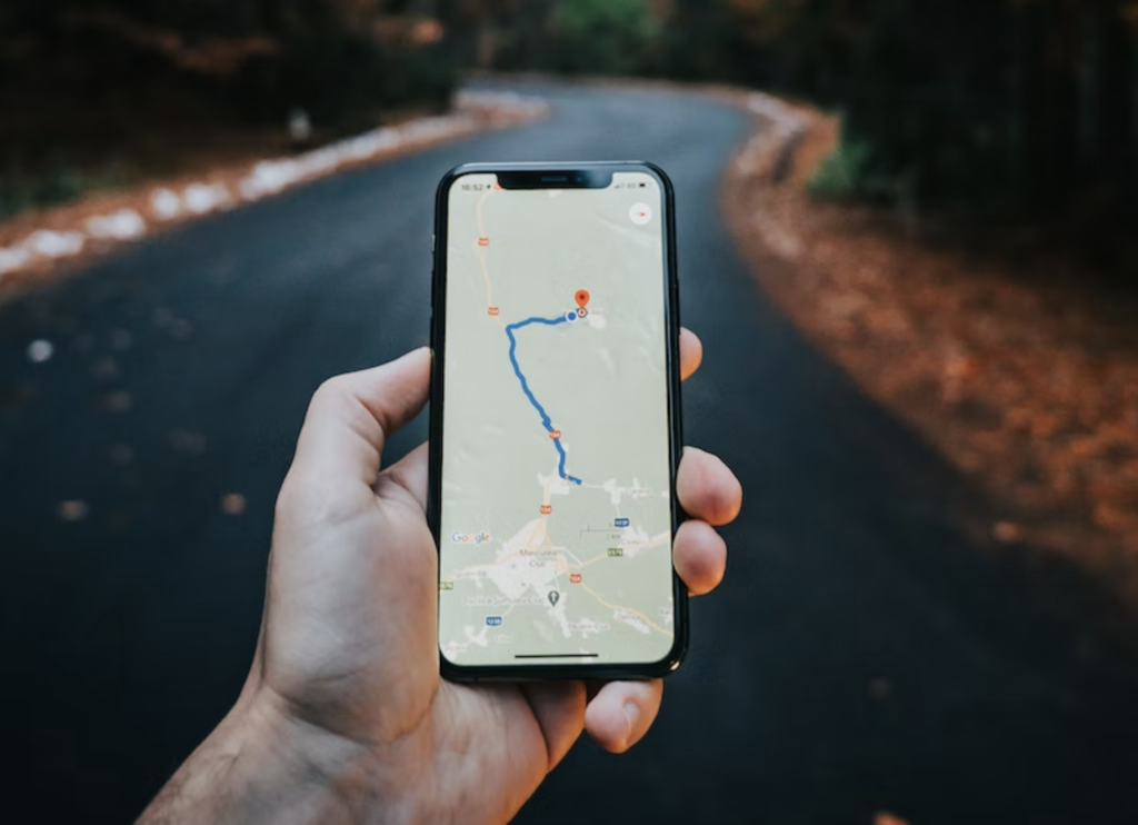
Google Maps Just Got A Big Upgrade
Google Maps Immersive View is a drone-like viewing experience now available in New York City, San Francisco, Los Angeles, and Tokyo.
This article is more than 2 years old
Google Maps Immersive View is an amazingly detailed new option that will allow users to virtually visit locations around the globe. Google announced on Wednesday that it’s being rolled out in London, Los Angeles, New York City, San Francisco, and Tokyo—with more cities on the way. Look for flyover-like Immersive View to come to Amsterdam, Dublin, Florence, and Venice in the coming months.
Last year, Google Maps first introduced Immersive View by adding it to over 250 global landmarks, including the Acropolis of Athens and Tokyo Tower. On its blog, Google said of the new feature, “Immersive view is an entirely new way to explore a place — letting you feel like you’re right there, even before you visit.” Immersive View uses advances in artificial intelligence (AI) and computer vision to create richly detailed world models.
The new Google Maps option feels like an ideal combination of Google Earth and Street View allowing you to virtually soar over buildings and then drop down to locate entrances in more detail. It includes layers on top with additional helpful information, such as weather, traffic, and crowd levels. You can adjust the levels to reflect the time of day, so you can “see” how the location looks different at night or when it’s most crowded.
Google Maps’ new augmented reality (AR) will help people navigate tricky destinations, such as an unfamiliar airport, with arrows to point users in the right direction. This will make it easier to locate restrooms, taxi stands, and other places that might be challenging to find otherwise. Users can also look inside buildings to understand the vibe of the place before deciding to go there.
Keep in mind, though, that Live View doesn’t actually give you access to real-time cameras. For example, you won’t be able to peek inside a restaurant to see if your friend is already holding a table for you. Google Maps Immersive View’s images are all computer generated from a combination of Google’s Street View shots and satellite captures.
“We’re able to fuse those together so that we can actually understand, okay, these are the heights of the buildings,” Liz Reid, a Google VP of engineering, told TheVerge. “How do we combine that with Street View? How do we combine it with aerial view to make something that feels much more like you were there?”
Google Maps uses neural radiance fields (NeRF), an advanced AI technique that generates 3D images that make Immersive View possible. NeRF maps color and light from multiple 2D images taken from varying angles to create explorable walkthrough experiences. Indoor Live View will use this technology to make it possible to explore 1000 airports, train stations, and shopping centers around the world.
Just by lifting your phone, you will be able to see if a business is open and if it’s busy at the moment. You can also read reviews and click through other details, such as restaurant menus. Google Maps hopes these features will help users maximize their time by being able to make informed decisions quickly.
Google Maps is increasingly morphing into a digitalized view of the real world as technology improves and allows the company to do more with all the data it has collected. Google spokesperson Pearl Xu confirmed to TheVerge that Immersive View works on most devices, including Android and iOS. Other cities slated next for Google Maps Immersive View are Barcelona, Berlin, Frankfurt, Madrid, Melbourne, Paris, Prague, Sao Paulo, Singapore, Sydney, and Taipei.