The surprising origins of GPS
Welcome to the fascinating realm of GPS, a technology that has become an integral part of our daily lives. From guiding us on road trips to helping us find the nearest coffee shop, GPS has transformed how we navigate the world.
But have you ever wondered about the origins of this incredible technology? The journey of GPS is filled with innovation, scientific breakthroughs, and a touch of serendipity.
The Birth of a Revolutionary Idea

The concept of GPS was born out of curiosity and necessity. The idea of using satellites for navigation was first proposed by scientists who saw the potential of space technology.
In the 1960s, the U.S. Navy developed the Transit system, a precursor to GPS, to help submarines navigate accurately. This laid the groundwork for a more sophisticated system that would eventually become the GPS we know today.
The Cold War Catalyst: A Space Race Necessity
The Cold War era was a time of intense competition and innovation. The Space Race between the U.S. and the Soviet Union spurred the development of new technologies, including satellite navigation.
The need for precise military positioning drove the U.S. to invest heavily in satellite technology, setting the stage for the creation of GPS. This period of geopolitical tension inadvertently accelerated advancements in space-based navigation systems.
Sputnik’s Unexpected Contribution
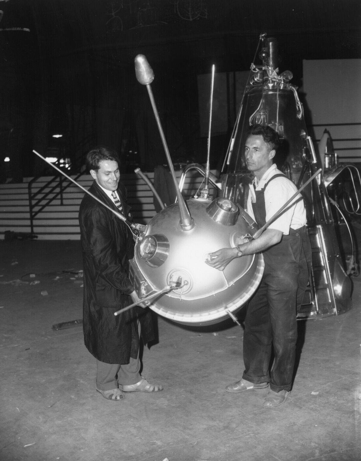
The launch of Sputnik in 1957 by the Soviet Union was a pivotal moment in history. Scientists at Johns Hopkins University realized they could track Sputnik’s signals to determine its location.
This revelation sparked the idea that satellites could be used for navigation on Earth. Sputnik’s beeping signals not only heralded the space age but also inspired the development of GPS technology, transforming a potential threat into an opportunity.
From Military to Civilian Use: A Technological Shift

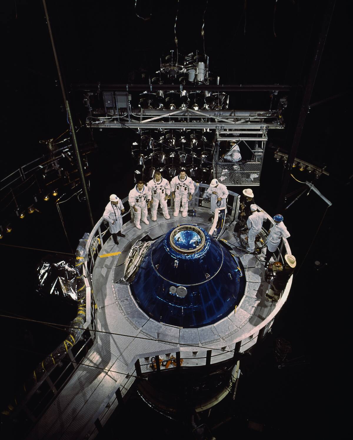
Initially, GPS technology was reserved for military use, providing the U.S. Armed Forces with unparalleled navigation accuracy. However, in the 1980s, President Ronald Reagan’s administration made a groundbreaking decision to make GPS available for civilian use.
This shift revolutionized industries worldwide, enabling everything from commercial aviation to everyday smartphone navigation, and opened new avenues for technological innovation.
The Role of the U.S. Department of Defense
The U.S. Department of Defense played a crucial role in the development of GPS. Tasked with improving military navigation, they initiated the NAVSTAR GPS program.
The department invested billions of dollars in satellite technology and infrastructure, ensuring the system’s accuracy and reliability. Their efforts laid the foundation for a global navigation system that is now indispensable to both military and civilian users around the world.
GPS: A Story of Satellites and Signals
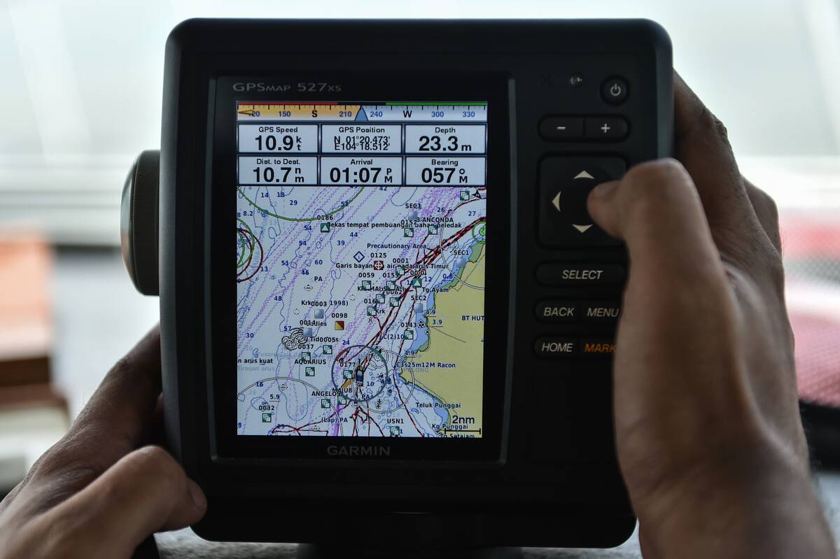
At the heart of GPS technology lies a network of satellites orbiting the Earth. These satellites continuously transmit signals that are picked up by GPS receivers, allowing them to calculate precise locations.
The system relies on a minimum of four satellites to determine a receiver’s position, using a process known as trilateration. This intricate dance of signals and satellites is what makes GPS incredibly accurate and reliable.
The Pioneers Behind the Technology
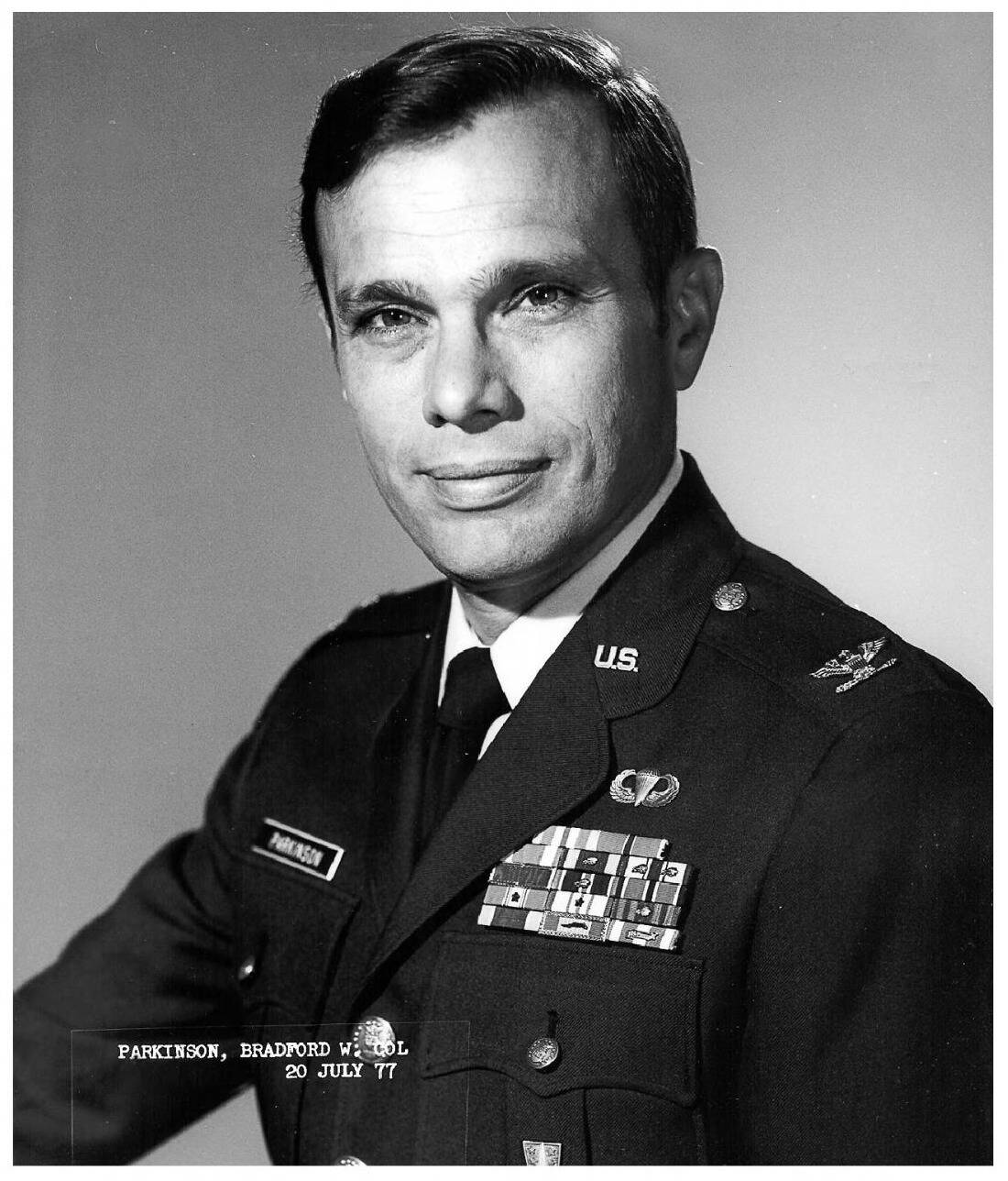
The development of GPS was made possible by the vision and dedication of several pioneering scientists and engineers. Dr. Ivan Getting, a key figure in the U.S. Air Force, advocated for satellite-based navigation.
Bradford Parkinson, often called the “father of GPS,” led the development of the NAVSTAR system. Their combined efforts, along with those of many others, turned a revolutionary idea into a reality that has changed the world.
Einstein’s Theory of Relativity and GPS
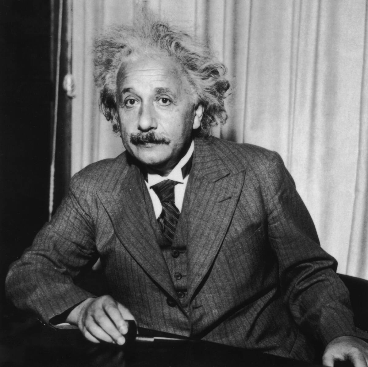
Albert Einstein’s theory of relativity plays a surprising role in the functionality of GPS. The theory predicts that time moves faster for satellites in orbit than it does on Earth due to their high speed and lower gravity.
To account for this discrepancy, GPS satellites are equipped with atomic clocks that are adjusted to account for relativistic effects. Without these adjustments, GPS calculations would drift by several miles each day!
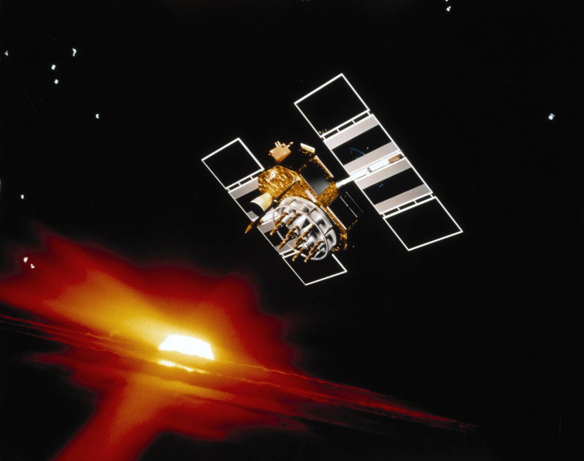
The NAVSTAR Global Positioning System

The NAVSTAR Global Positioning System, developed by the U.S. Department of Defense, is the backbone of modern GPS. Consisting of a constellation of at least 24 satellites, NAVSTAR provides global coverage and unparalleled accuracy.
This system was designed to ensure that users anywhere on Earth can determine their location with precision, a testament to the ambitious vision of its creators and the technological prowess of its engineers.
Early Challenges and Technological Triumphs
The journey to perfecting GPS was fraught with challenges. Early GPS systems faced issues like signal interference, limited satellite coverage, and the need for precise timekeeping.
However, through perseverance and technological advancements, these obstacles were overcome. The integration of atomic clocks, improved satellite technology, and enhanced algorithms transformed GPS from a fledgling concept into a robust and reliable global navigation system.
A Timeline of GPS Evolution
The evolution of GPS spans decades of innovation and progress. The 1970s saw the launch of the first experimental satellites, while the 1980s introduced the first fully operational NAVSTAR satellites. The system was declared fully operational in 1995.
Since then, advancements in satellite technology and ground infrastructure have continued to enhance its accuracy and reliability, cementing GPS as a cornerstone of modern navigation.
The First GPS Devices: Bulky and Basic
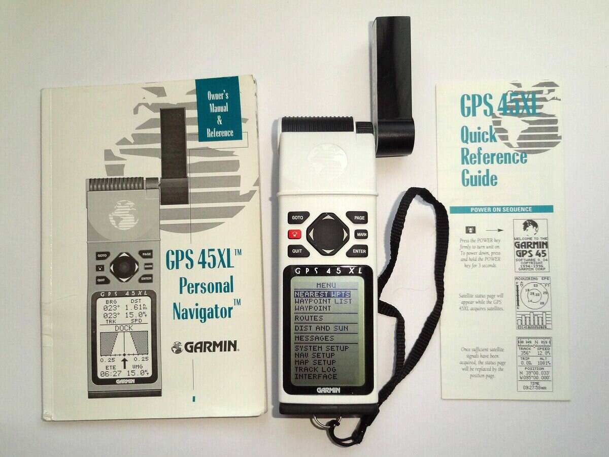
Early GPS devices were a far cry from the sleek, portable units we use today. The first receivers were large, cumbersome, and required significant power to operate. Despite their limitations, these devices represented a significant leap forward in navigation technology.
Over time, improvements in electronic miniaturization and battery efficiency led to the development of more compact and user-friendly devices, paving the way for widespread adoption.
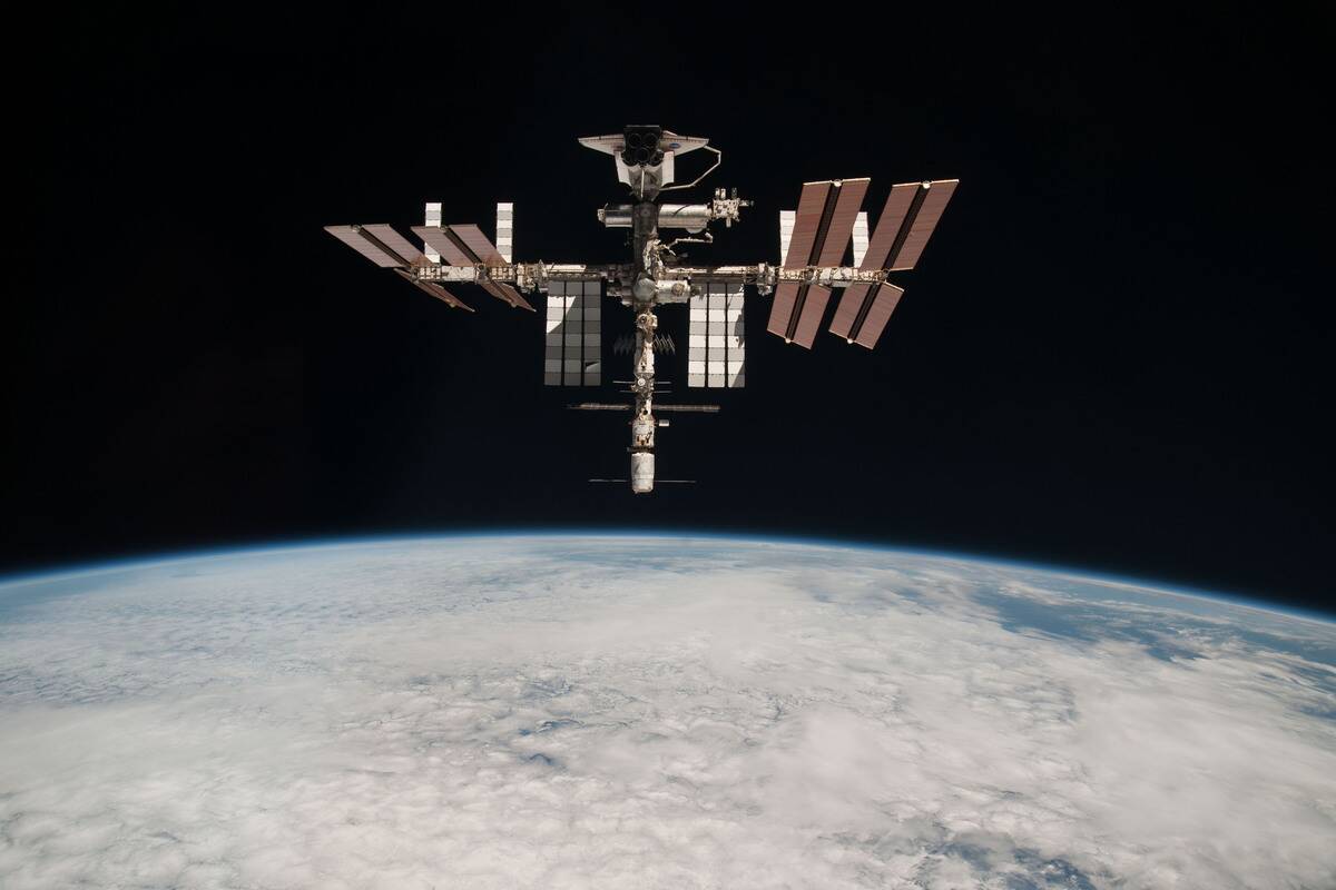
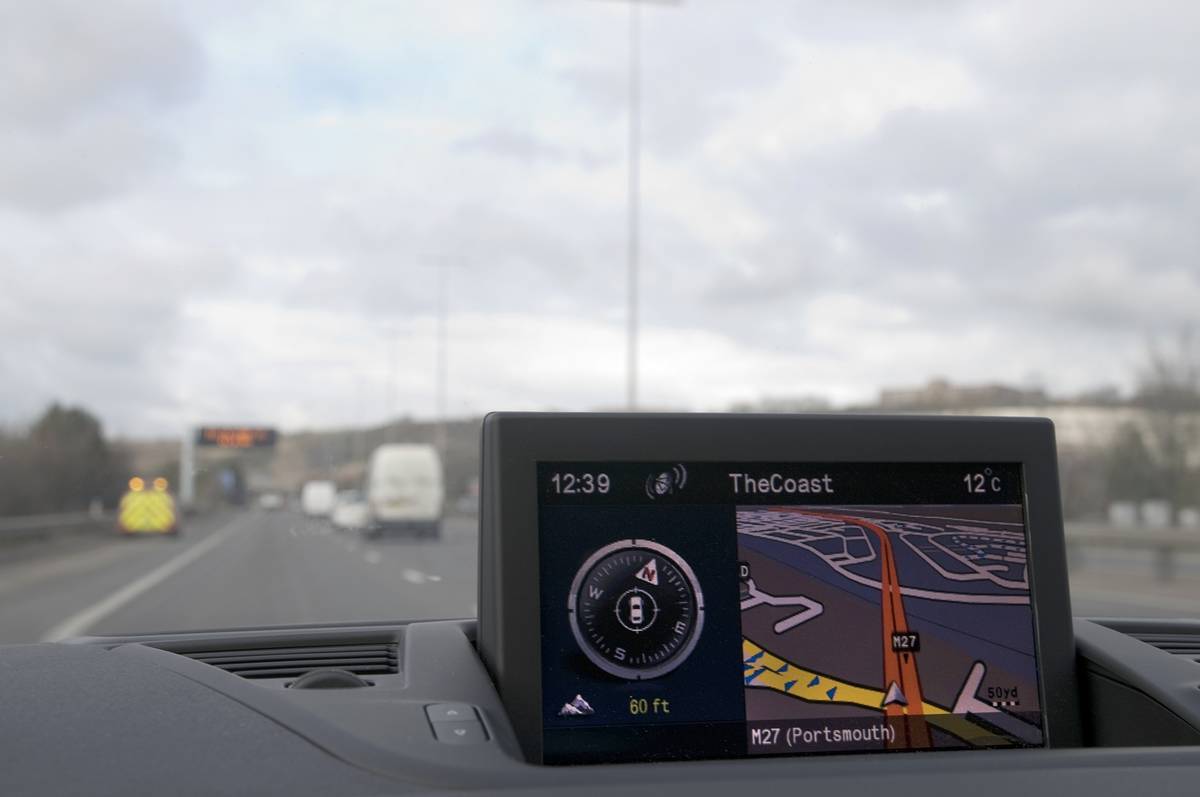
The Role of GPS in Modern Society
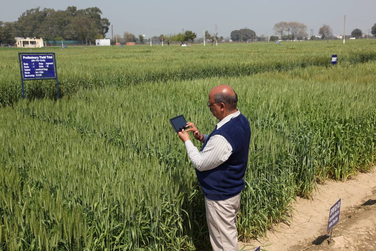
Today, GPS is more than just a navigation tool; it’s a vital component of modern society. It underpins a myriad of applications, from agriculture and disaster management to banking and telecommunications.
GPS technology enables precision farming, efficient supply chain management, and even time synchronization for financial transactions. Its impact is far-reaching, shaping the way we live, work, and communicate.
Fun Facts You Didn’t Know About GPS
Did you know that GPS is free for anyone to use, courtesy of the U.S. government? Or that GPS signals travel at the speed of light, covering approximately 186,000 miles per second?
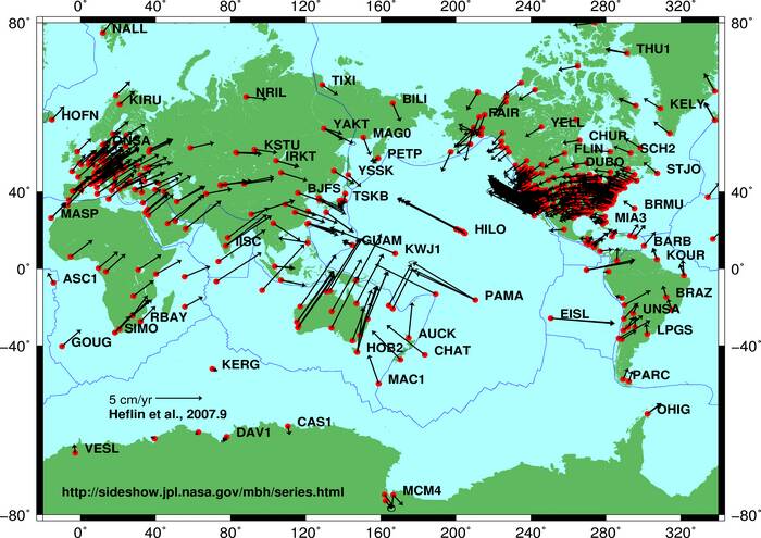
Another surprising fact: GPS can be used to monitor and study tectonic movements by detecting subtle changes in the Earth’s surface, helping scientists better understand earthquakes. These fun tidbits highlight the versatility and surprising capabilities of a technology we often take for granted.


