Wrong maps that sparked great explorations
Throughout history, the thrill of discovery has driven explorers to the farthest corners of the Earth. Yet, not all explorations ended as planned. In fact, many were marred by bold but blunderous errors.
These missteps, while comical in hindsight, played pivotal roles in shaping geographical knowledge. Let’s embark on a journey through time, exploring the fascinating mishaps of history’s most intrepid adventurers.
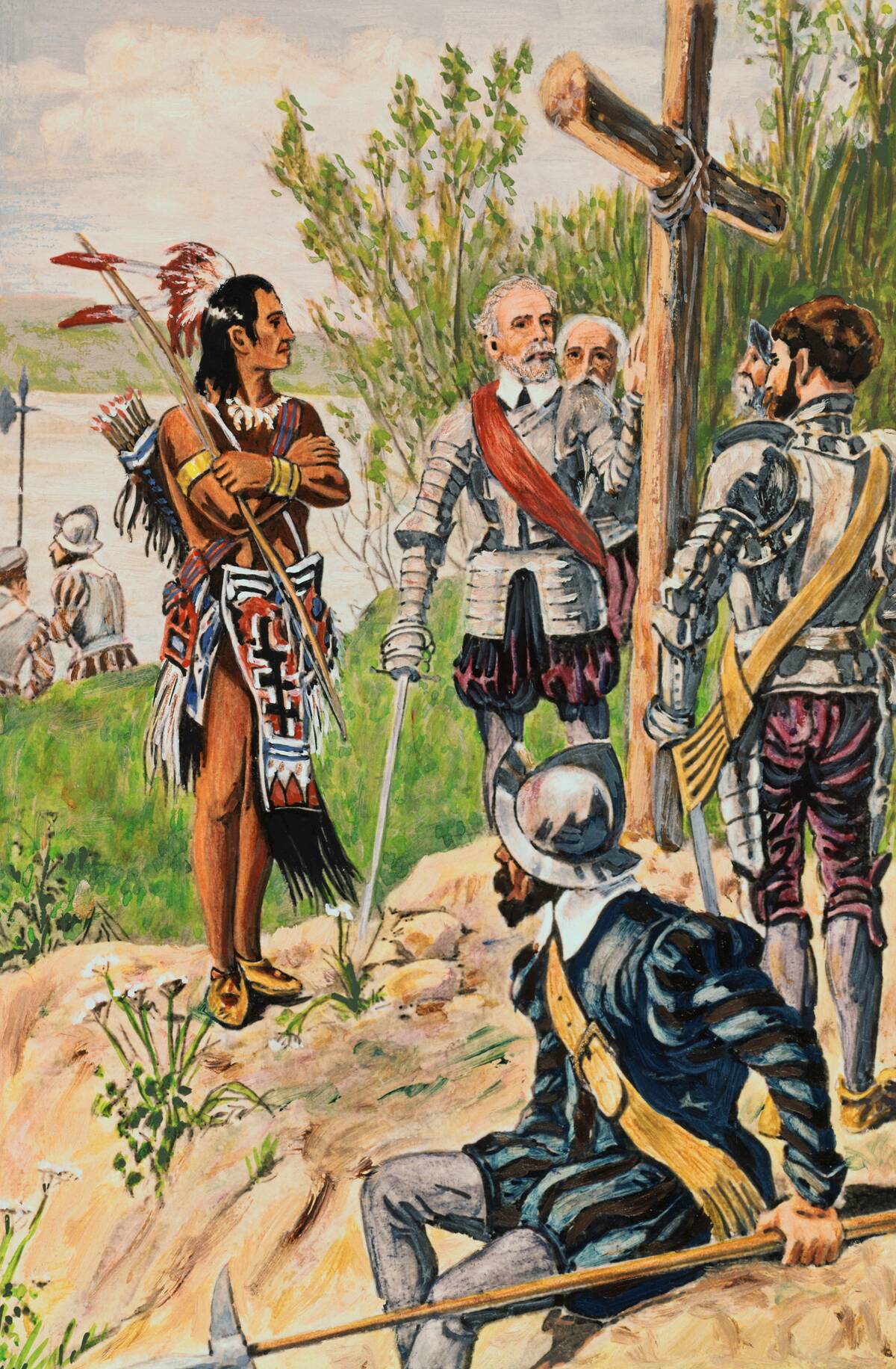
The Misguided Adventures of Christopher Columbus
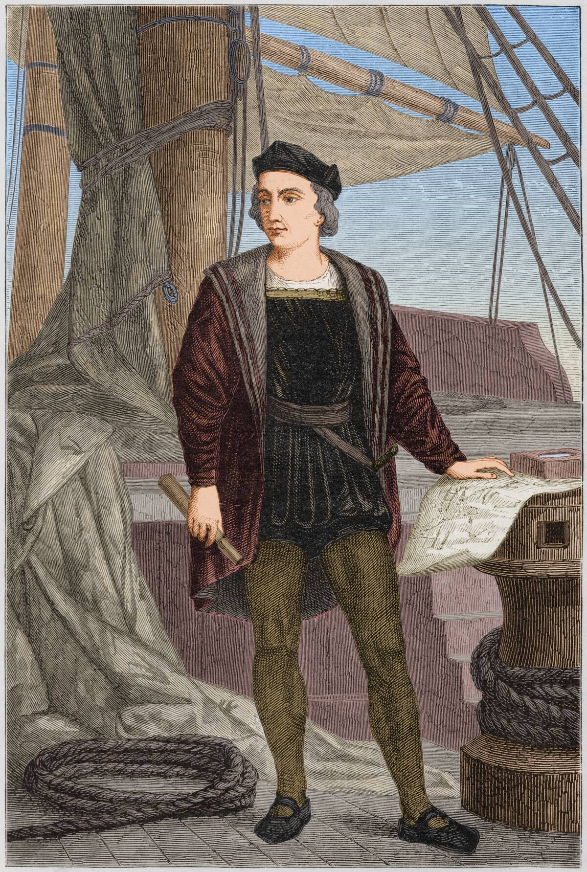
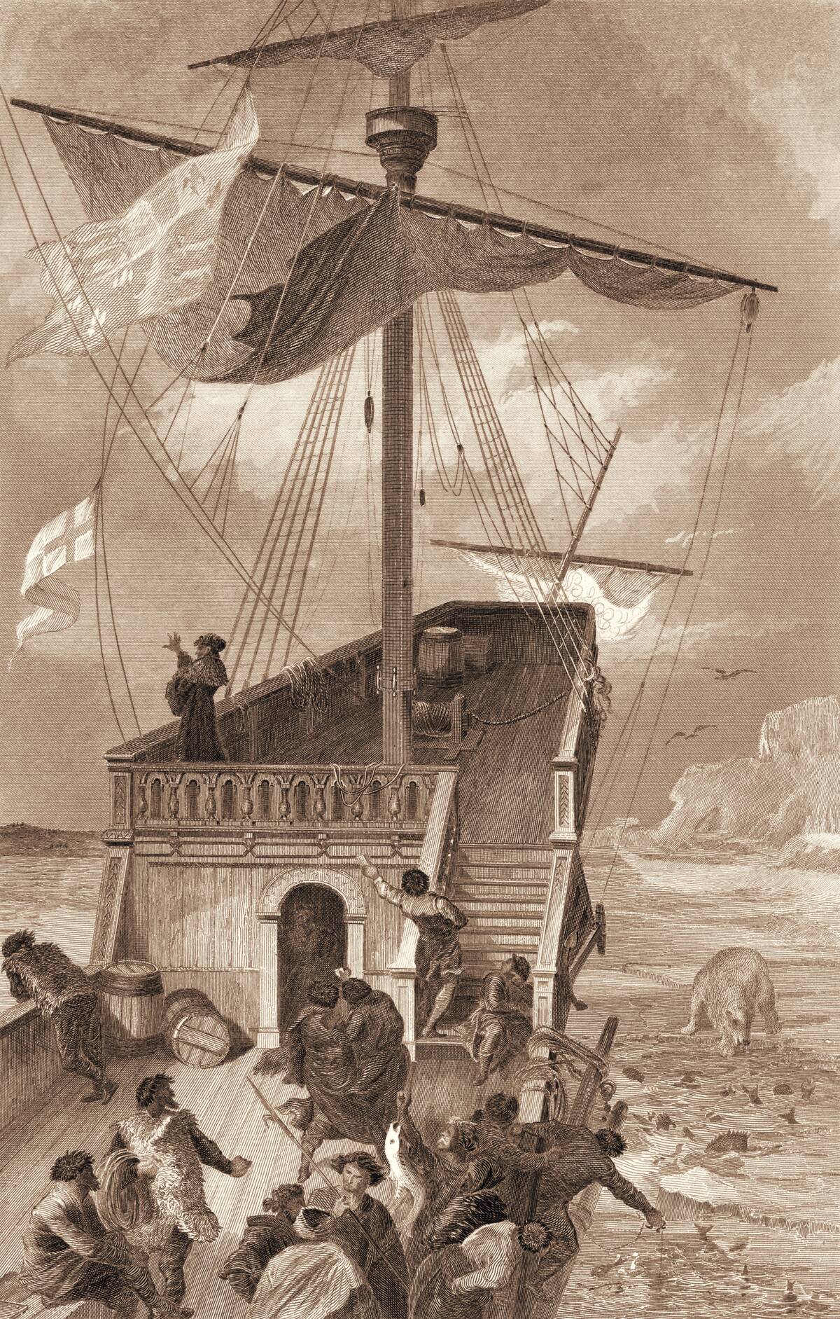
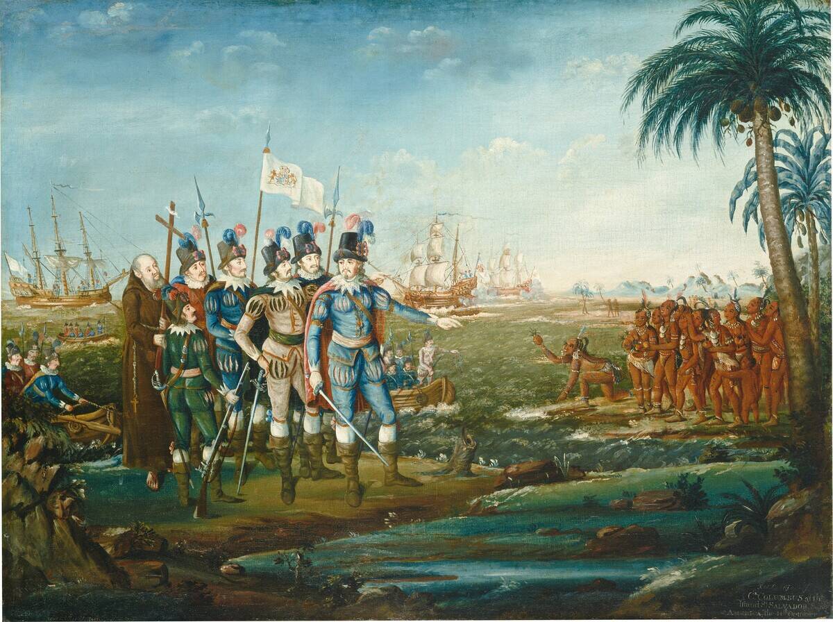
Christopher Columbus is famously known for mistakenly discovering America when he intended to find a new route to Asia. Sailing under the Spanish flag in 1492, he landed in the Bahamas, convinced he had reached the East Indies.
His miscalculation was due to underestimating the Earth’s circumference. Despite his errors, Columbus’s voyages opened the gates to European exploration of the New World, changing the course of history.
John Cabot’s Quest for the Far East
John Cabot, inspired by Columbus, sought a northwest passage to Asia in 1497. Instead, he landed on the coast of Newfoundland, mistaking it for Asia. His journey marked the first European exploration of the North American mainland since the Vikings.
Despite his geographic misjudgment, Cabot’s discovery laid the groundwork for future British claims in Canada, highlighting the unintended successes of exploratory blunders.
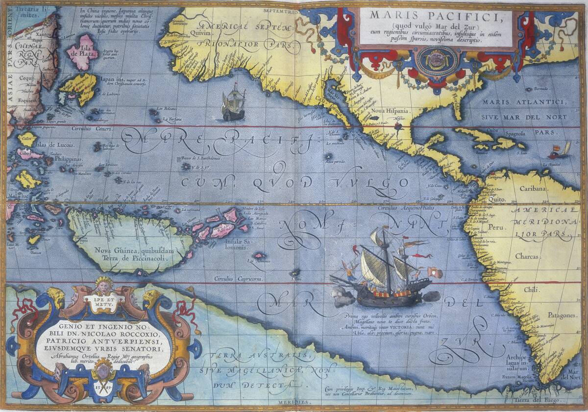
The Cartographic Confusions of Martin Waldseemüller
Martin Waldseemüller is credited with producing the first map to label America, but his work wasn’t without errors. In 1507, he mistakenly named the continent after Amerigo Vespucci, believing Vespucci had discovered it.
Despite the mix-up, his map became a seminal piece in cartographic history, influencing mapmaking for centuries. Waldseemüller’s mistake shows how even blunders can immortalize a name in history.
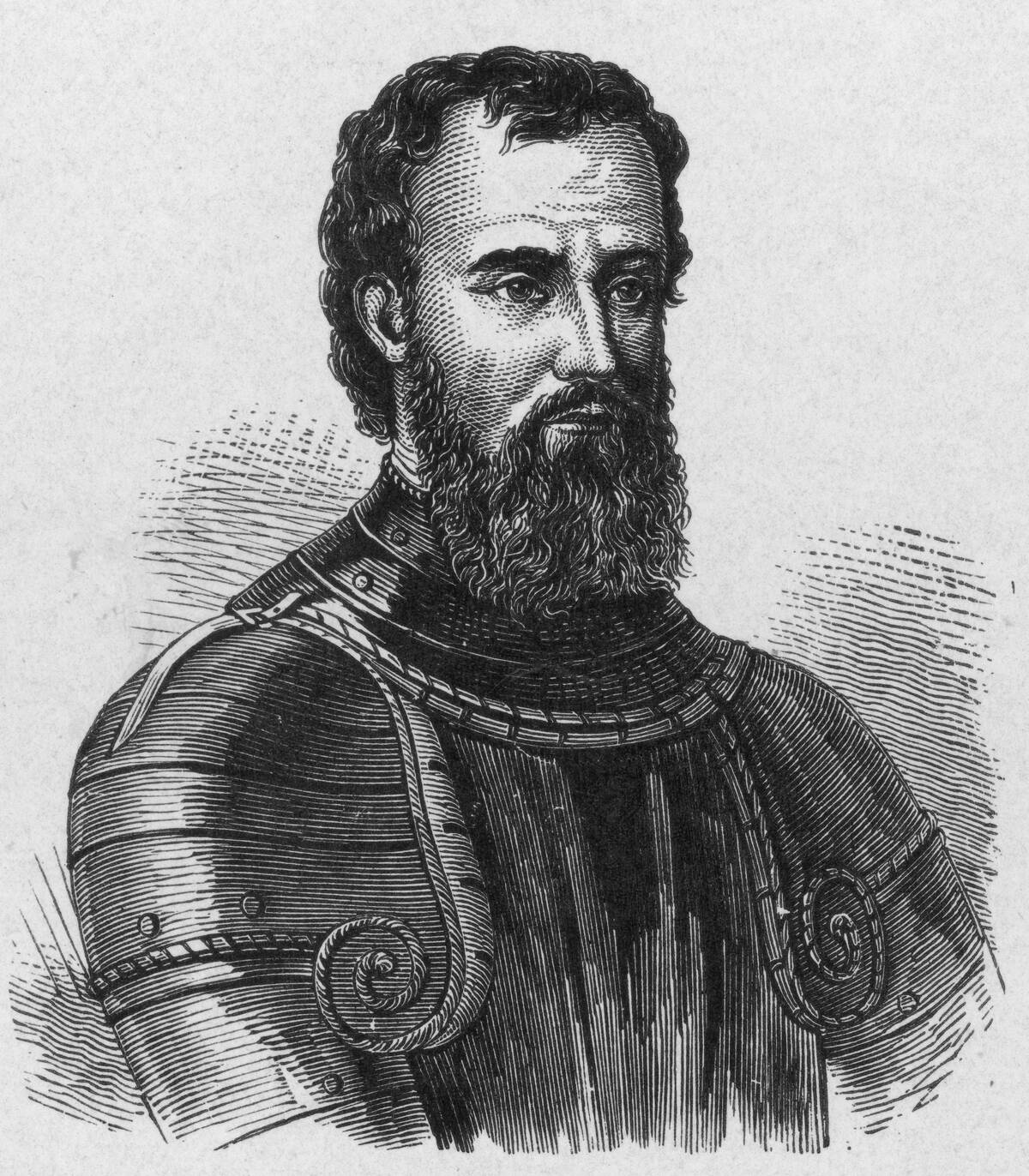
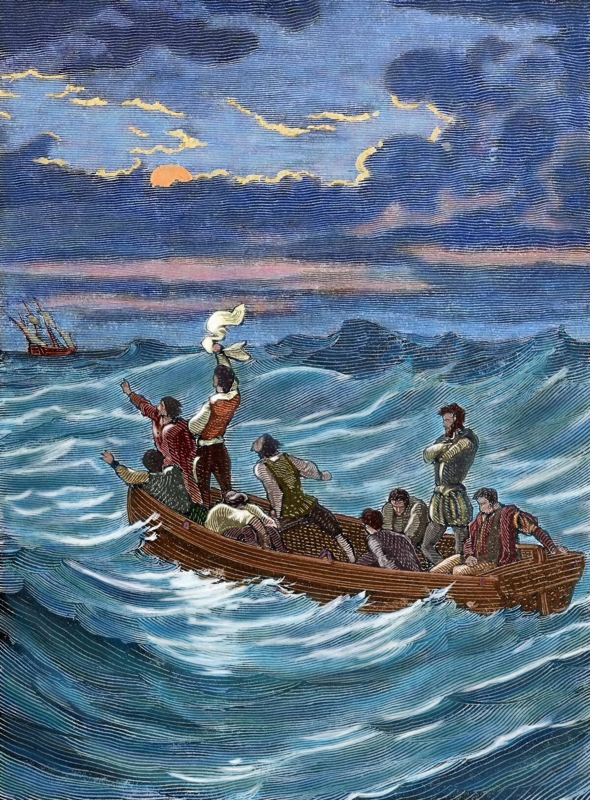
Ferdinand Magellan’s Epic Miscalculations
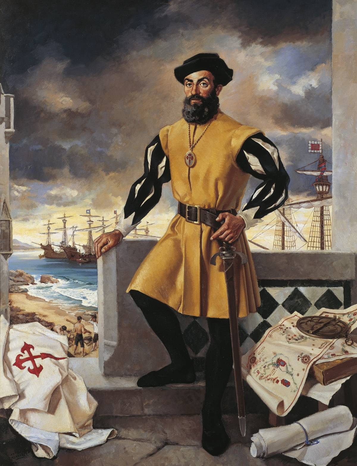
Ferdinand Magellan’s circumnavigation of the globe was fraught with miscalculations. In 1519, he underestimated the vastness of the Pacific Ocean, leading to a grueling three-month crossing with depleted supplies.
Despite these hardships, Magellan’s expedition proved the world’s roundness and the vast expanse of the Earth’s oceans. His journey underscored the unpredictable nature of exploration and the determination needed to overcome its challenges.
Giovanni da Verrazzano’s Imaginary Sea of Verrazzano
In 1524, Giovanni da Verrazzano explored the east coast of North America and mistakenly reported a vast sea separating North America from Asia. This error, known as the Sea of Verrazzano, led to decades of cartographic confusion.
Maps depicted a nonexistent passage until later explorers corrected the mistake. Verrazzano’s imagined sea highlights the difficulties of early exploration and the lasting impact of initial reports on mapmaking.
The Elusive Northwest Passage and Henry Hudson
Henry Hudson’s quest for the Northwest Passage remains one of exploration’s great tales. In the early 17th century, he made multiple voyages, hoping to find a direct route to Asia through the Arctic.
Instead, he charted parts of present-day Canada and the northeastern United States. Although he never found the elusive passage, Hudson’s journeys expanded European knowledge of North America, inadvertently setting the stage for future exploration.
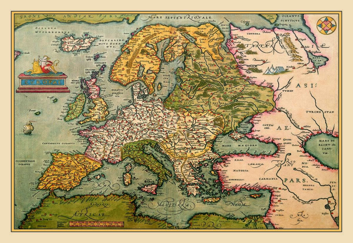
The Enigmatic Maps of Gerardus Mercator
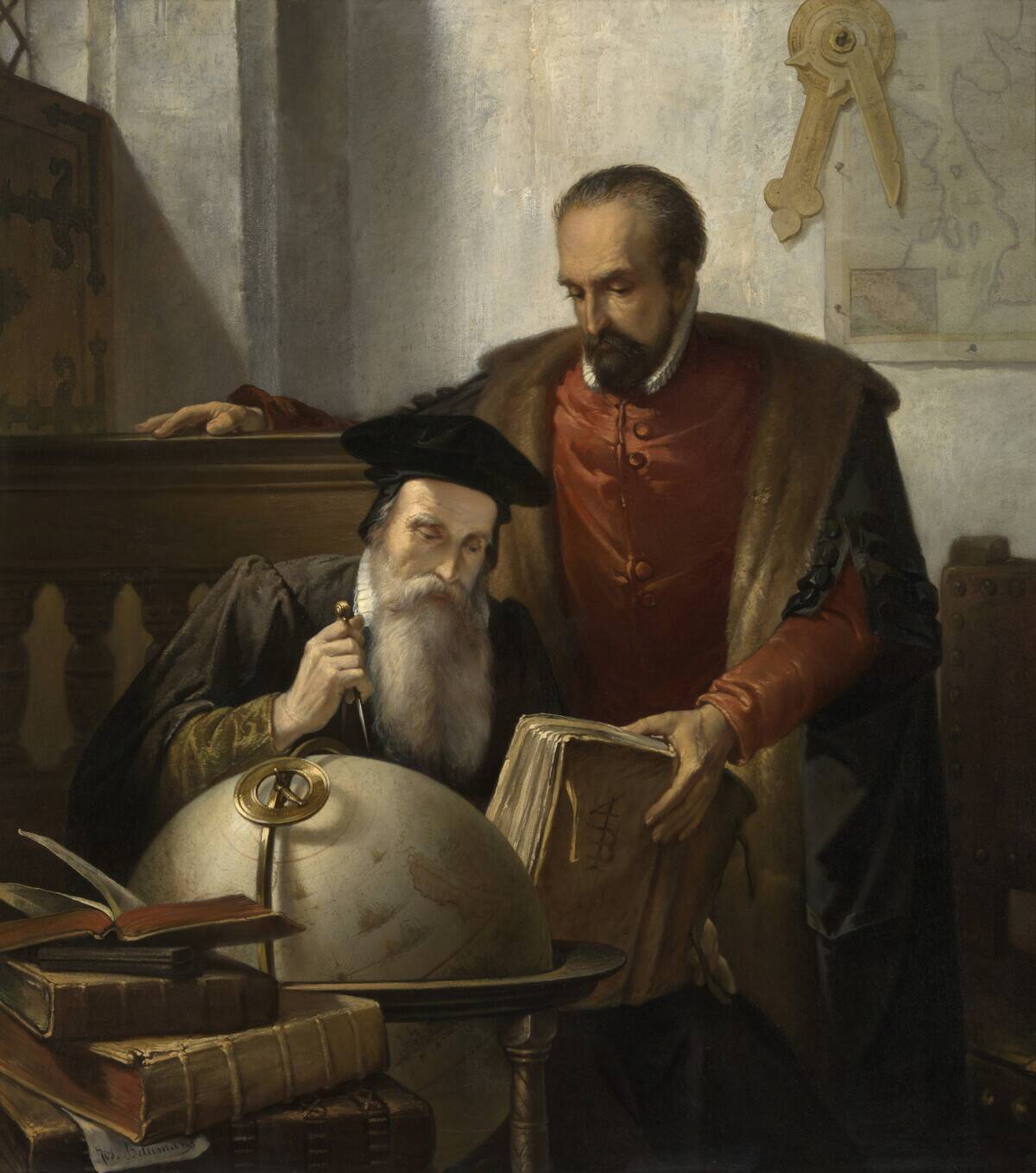
Gerardus Mercator, renowned for creating the Mercator projection, grappled with the challenges of accurately depicting the globe on a flat map. Though his projection distorts sizes near the poles, it revolutionized navigation by preserving straight lines, aiding sailors in charting courses.
Mercator’s work exemplifies how even imperfect creations can drive innovation, influencing cartography and exploration for generations.
Ptolemy’s Influence on Renaissance Cartography
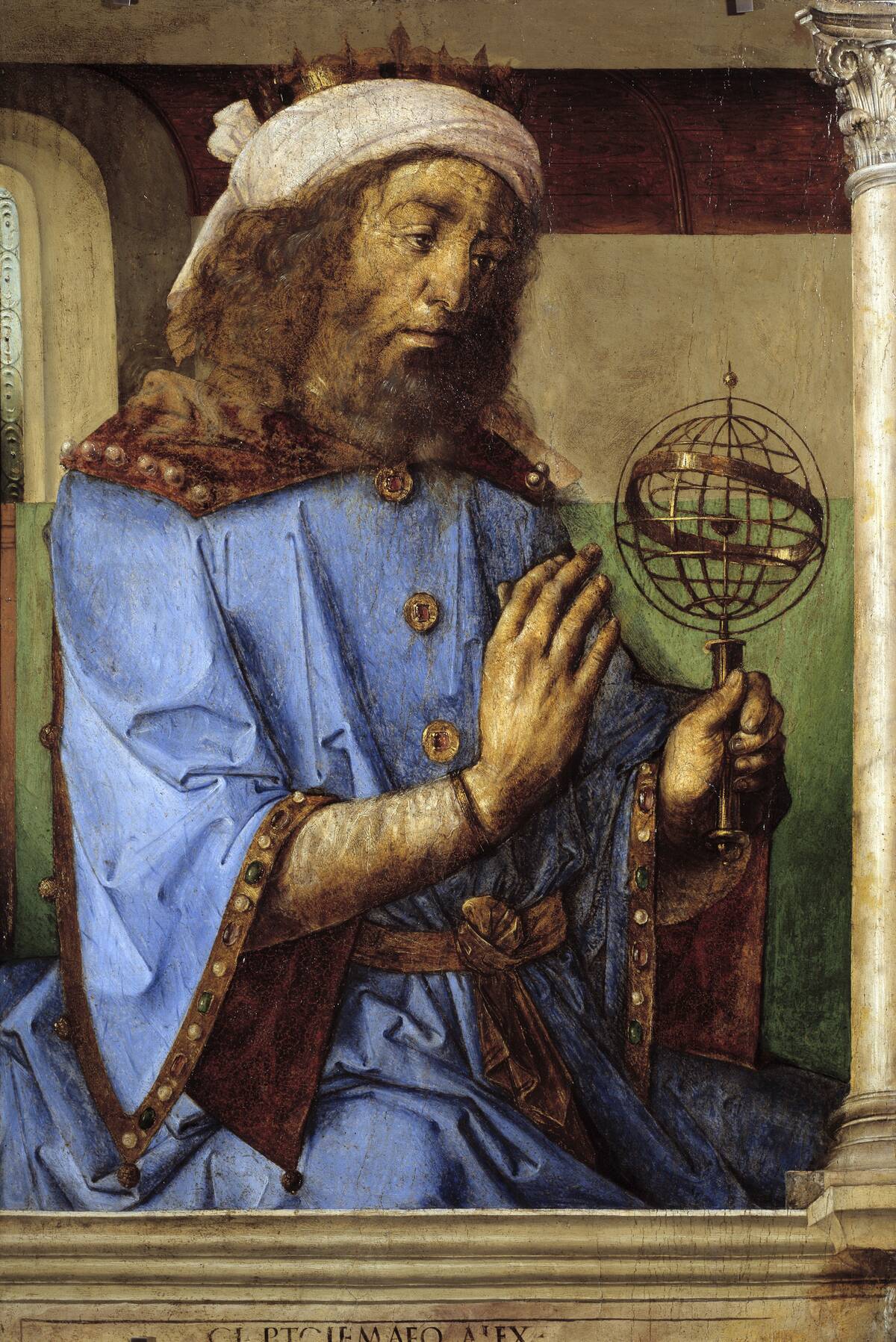
Claudius Ptolemy’s Geographia, rediscovered in the Renaissance, profoundly influenced cartography despite its inaccuracies. His maps, based on a geocentric worldview, misrepresented landmasses like Africa and Asia.
Nonetheless, Ptolemy’s work inspired explorers and cartographers to refine their tools and methods. His blend of science and art laid the groundwork for the Age of Discovery, highlighting how even flawed ideas can spark progress.
The Persistent Myth of Terra Australis
The myth of Terra Australis, a vast southern continent, persisted for centuries despite lacking evidence. Early mapmakers included it to balance the known landmasses of the Northern Hemisphere.
Explorers like Captain Cook eventually debunked the myth, leading to the discovery of Australia and Antarctica. The Terra Australis legend showcases how speculative geography can drive exploration, pushing boundaries in search of the unknown.
The Marvelous Mistakes of Marco Polo
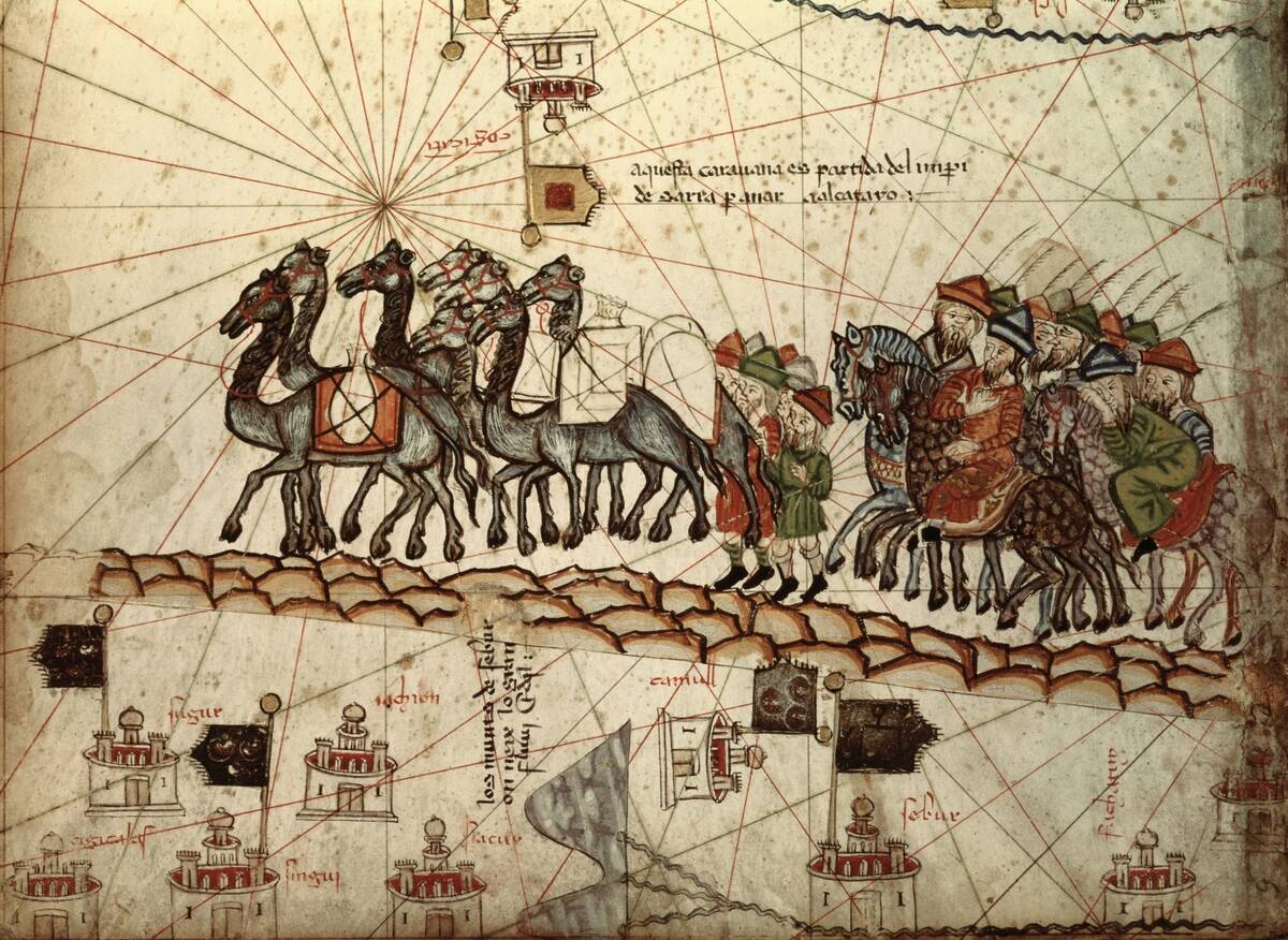
Marco Polo’s travels to Asia, chronicled in “The Travels of Marco Polo,” contained both remarkable insights and curious errors. His descriptions of mythical creatures and exaggerated accounts of wealth captivated European audiences.
Though some details were embellished, Polo’s writings inspired countless explorers, including Columbus. His tales, a mix of fact and fiction, underscore how stories can fuel the imagination and spark adventurous pursuits.
The Fabled Cities of Gold and Francisco Vásquez de Coronado
Driven by tales of the Seven Cities of Gold, Francisco Vásquez de Coronado led an expedition into the American Southwest in the 1540s. Despite finding no riches, he discovered the Grand Canyon and the Great Plains.
Coronado’s journey, though fruitless in treasure, expanded European knowledge of the continent’s interior. His quest exemplifies how myths can propel exploration, leading to unexpected findings and new frontiers.
The Phantom Islands of Early Mapmakers
Early mapmakers often depicted phantom islands, born from sailors’ tales and wishful thinking. Islands like Frisland and Hy-Brasil appeared on maps for centuries, despite never existing.
These mythical islands, eventually removed from charts, illustrate the evolving nature of cartography. As explorers debunked these legends, maps became more accurate, reflecting the growing understanding of the world’s geography and the need for empirical evidence.
The Fictitious Mountains of Kong
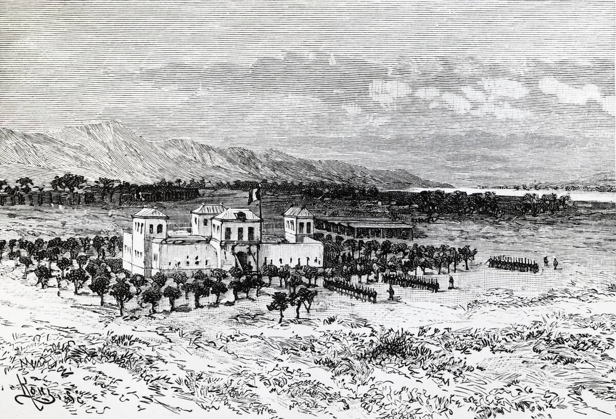
The Mountains of Kong, a nonexistent range depicted in West Africa, appeared on maps from the late 18th to the late 19th century. Based on speculative reports, these mountains misled explorers and cartographers for decades.
Their eventual removal from maps serves as a cautionary tale about the dangers of speculative geography. The Mountains of Kong remind us that exploration often involves separating fact from fiction.
How These Errors Sparked the Age of Exploration and Discovery
Despite their blunders, these explorers and cartographers fueled the Age of Exploration, driven by curiosity and the desire to map the unknown. Their mistakes, while sometimes laughable, sparked innovation and discovery, pushing the boundaries of what was known about the world.
In their quest for knowledge, they laid the foundation for modern geography, proving that even the boldest blunders can lead to the most profound discoveries.


