How ancient megafloods formed today’s landscapes
Imagine a time when colossal waves of water thundered across continents, reshaping the landscape in their wake. These were the ancient megafloods, titanic forces of nature that left behind stunning geological features.
From vast canyons to expansive plains, these floods have sculpted some of the most breathtaking vistas on Earth. As we journey through these magnificent terrains, we’ll uncover the stories they tell about Earth’s dynamic and violent past.
Understanding Megafloods: Nature’s Colossal Waterworks
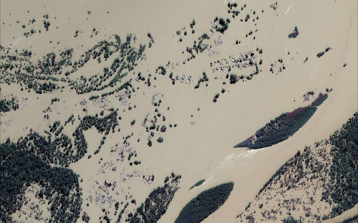
Megafloods occur when natural barriers like ice dams or natural embankments collapse, releasing enormous volumes of water. These floods can release water at rates exceeding the combined flow of all the world’s rivers.
The immense pressure and speed of these waters carve through rock and soil, creating dramatic landscapes. Unlike regular floods, megafloods are rare and can reshape entire regions in a matter of days.
The Great Missoula Floods: A Geological Marvel
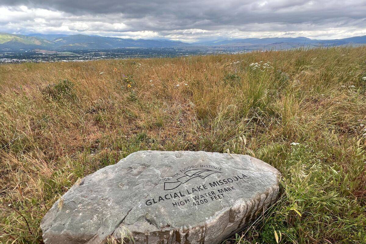
Occurring at the end of the last Ice Age, the Great Missoula Floods were a series of cataclysmic events. Triggered by the repeated collapse of ice dams holding back glacial Lake Missoula, these floods swept across the Pacific Northwest.
The sheer force of the water sculpted the Channeled Scablands, a unique landscape of canyons, coulees, and ripples. These floods are among the largest known to have occurred on Earth.
Scablands of Washington: A Testament to Nature’s Force
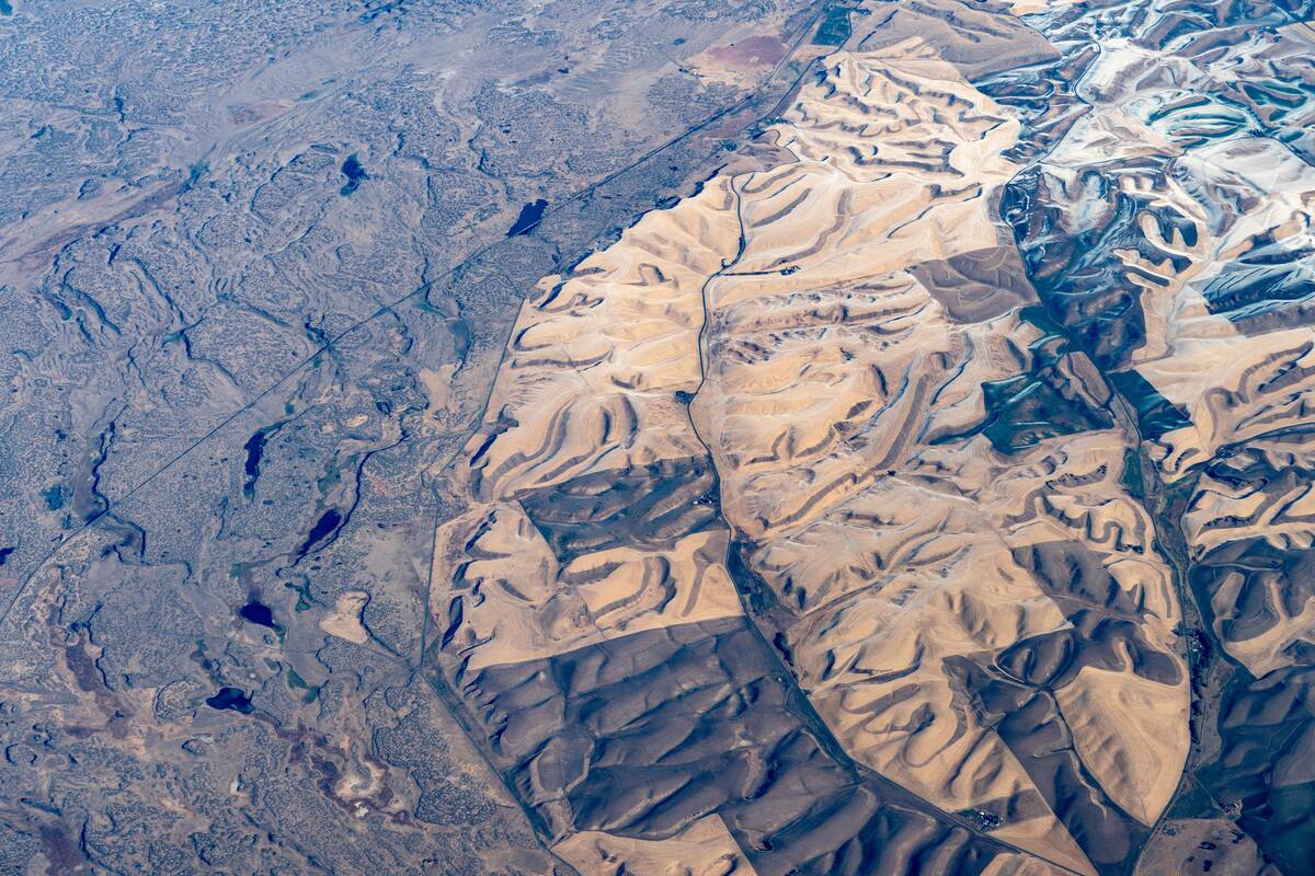
The Scablands in Washington State are a direct result of the Missoula Floods. This rugged landscape, characterized by steep canyons and rocky plateaus, provides evidence of the floods’ immense power.
The term “scablands” refers to the eroded, rocky terrain left behind. Visiting this area feels like stepping into a world shaped by tumultuous waters, offering a glimpse into the raw power of natural forces.
Lake Bonneville and the Birth of the Bonneville Salt Flats

Once, Lake Bonneville was a massive prehistoric lake covering much of present-day Utah. Its overflow led to the Bonneville Flood, which carved out the Snake River Canyon.
As the lake receded, it left behind the Bonneville Salt Flats, a vast expanse of dazzling white salt crust. Today, these salt flats are a popular destination for speed enthusiasts and photographers alike, showcasing a remnant of a geologically dynamic past.
Iceland’s Outwash Plains: Glacial Floods at Work
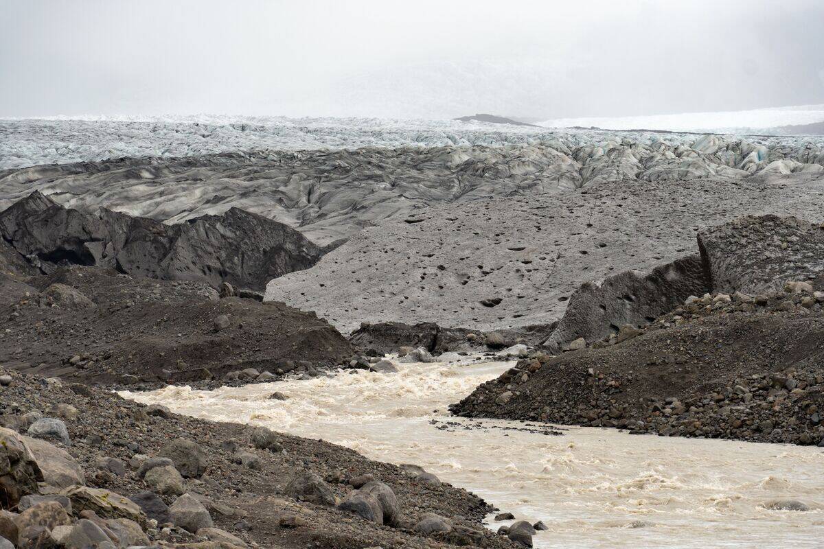
In Iceland, the outwash plains, or ‘sandurs,’ are formed by glacial floods known as ‘jökulhlaups.’ These floods occur when volcanic activity melts glaciers, releasing torrents of water across the landscape.
The result is expansive, flat plains composed of sand and gravel. Iceland’s outwash plains demonstrate how volcanic and glacial interactions continue to shape the land, creating an ever-evolving and dramatic environment.
The Altai Floods: Siberia’s Ancient Deluge
The Altai Floods in Siberia are among the oldest documented megaflood events, occurring around 15,000 years ago. These floods were caused by the sudden release of water from ice-dammed lakes.
The resulting deluge carved deep valleys and left behind massive boulders known as ‘erratics.’ Studying these floods provides valuable insights into Earth’s climatic history and the processes that shape our planet’s surface.
Mega-Lake Agassiz and Its Imprint on North America
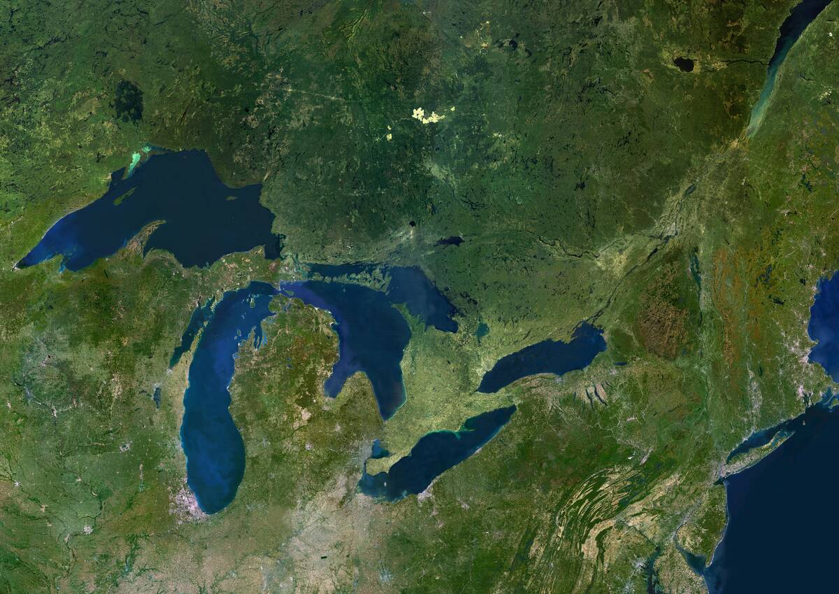
Mega-Lake Agassiz was a vast glacial lake that once covered parts of Canada and the northern United States. Its drainage reshaped the landscape, influencing the formation of the Great Lakes and the Mississippi River.
The lake’s outflow also contributed to a significant global sea level rise. The remnants of Lake Agassiz’s shorelines can still be traced today, marking the extent of one of the largest lakes in Earth’s history.
How Megafloods Shaped Europe’s Rhine Valley
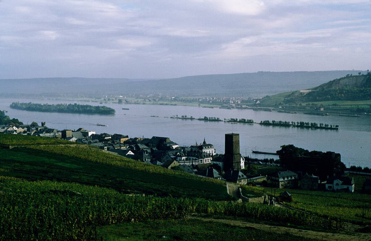
The Rhine Valley in Europe owes much of its current form to past megafloods. These floods, triggered by melting glaciers, carved out deep valleys and left behind fertile plains.
The Rhine River, one of Europe’s major waterways, flows through this landscape, bearing witness to the ancient forces that shaped its course. This region’s rich history and fertile lands have made it a crucial area for human settlement and agriculture.
The Floods that Created the English Channel
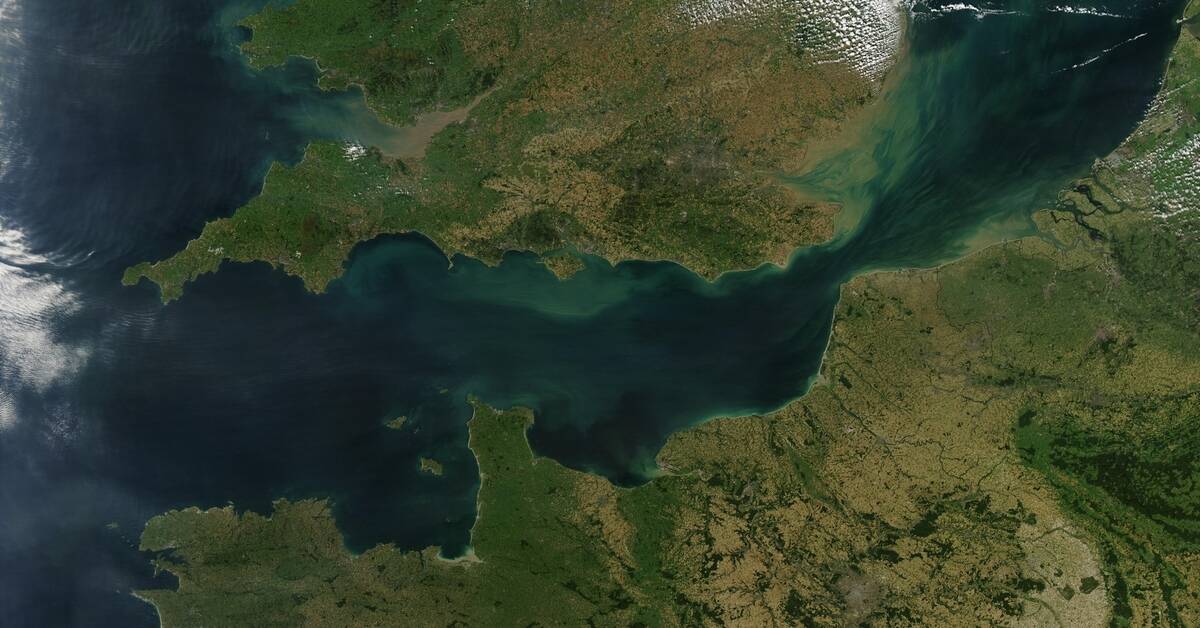
Around 450,000 years ago, a massive megaflood breached a land bridge between Britain and mainland Europe, creating the English Channel. This event was caused by a buildup of water in a glacial lake that eventually overflowed.
The channel’s creation permanently separated Britain from the rest of Europe. This geological event significantly impacted human migration and settlement patterns, shaping the history and development of the region.
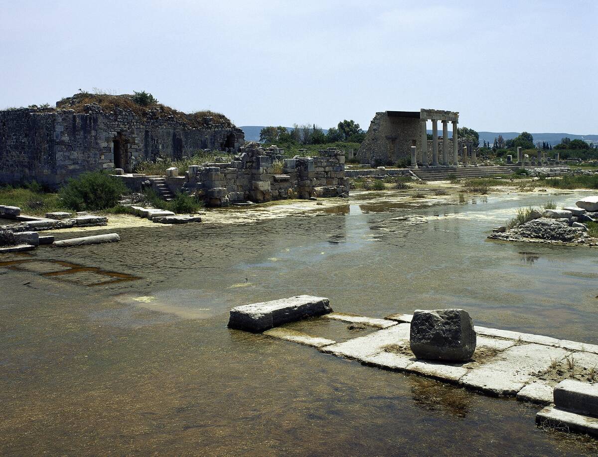
Megafloods and the Formation of the Mediterranean Basin
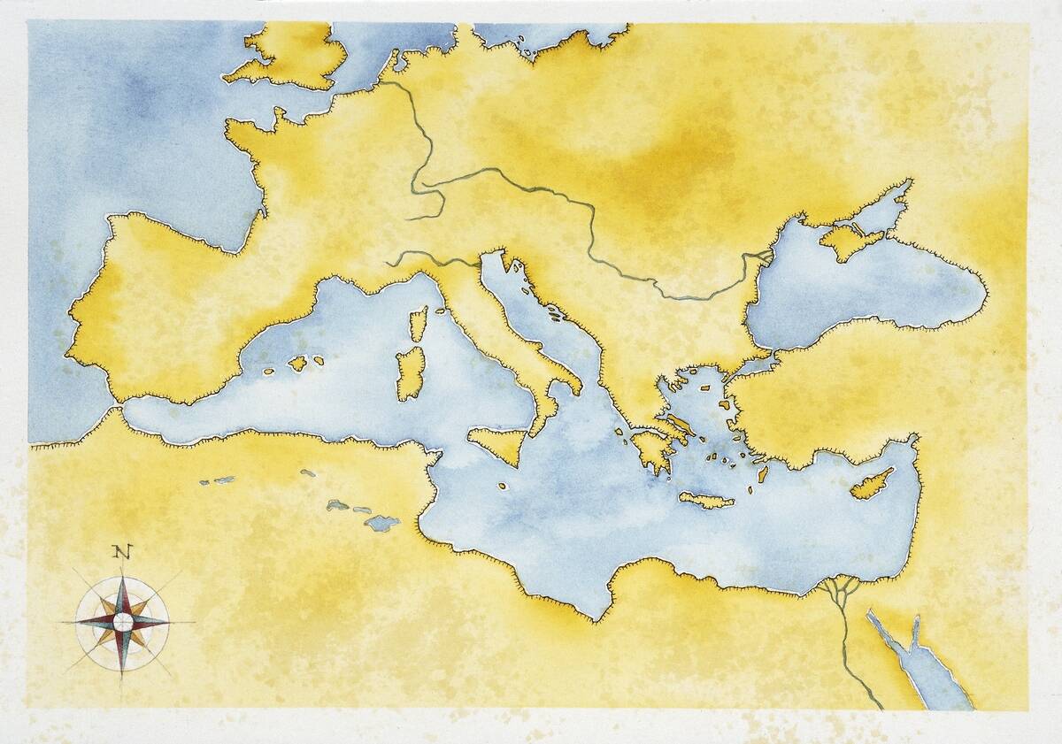
The Mediterranean Basin’s formation is linked to a series of ancient megafloods. The Zanclean flood, occurring about 5.3 million years ago, refilled the Mediterranean Sea after it had nearly dried up.
This dramatic event was triggered by the Atlantic Ocean breaching the Strait of Gibraltar. The resulting deluge rapidly filled the basin, shaping the Mediterranean’s current geography and influencing the climate and ecology of the surrounding regions.


