15 vanished societies revealed through sonar mapping
From the mysterious depths of the ocean to the shadows of ancient civilizations, the allure of vanished societies captivates us like nothing else. These forgotten realms, hidden beneath layers of history and water, are now coming to light thanks to the marvel of sonar mapping.
This technology, initially developed for submarine detection, has become an indispensable tool for archaeologists on a quest to uncover the secrets of lost worlds. Let’s delve into how sonar paves the way for these discoveries.
The Allure of Lost Civilizations
Lost civilizations have always piqued human curiosity, from the legendary Atlantis to the mythical city of El Dorado. These enigmatic societies challenge our understanding of history and inspire a sense of wonder.
The idea that entire cities could vanish without a trace leads to endless speculation and theories. Historians and adventurers alike are driven by the desire to uncover the truths behind these stories, hoping to piece together the puzzle of our past.
Understanding Sonar Technology
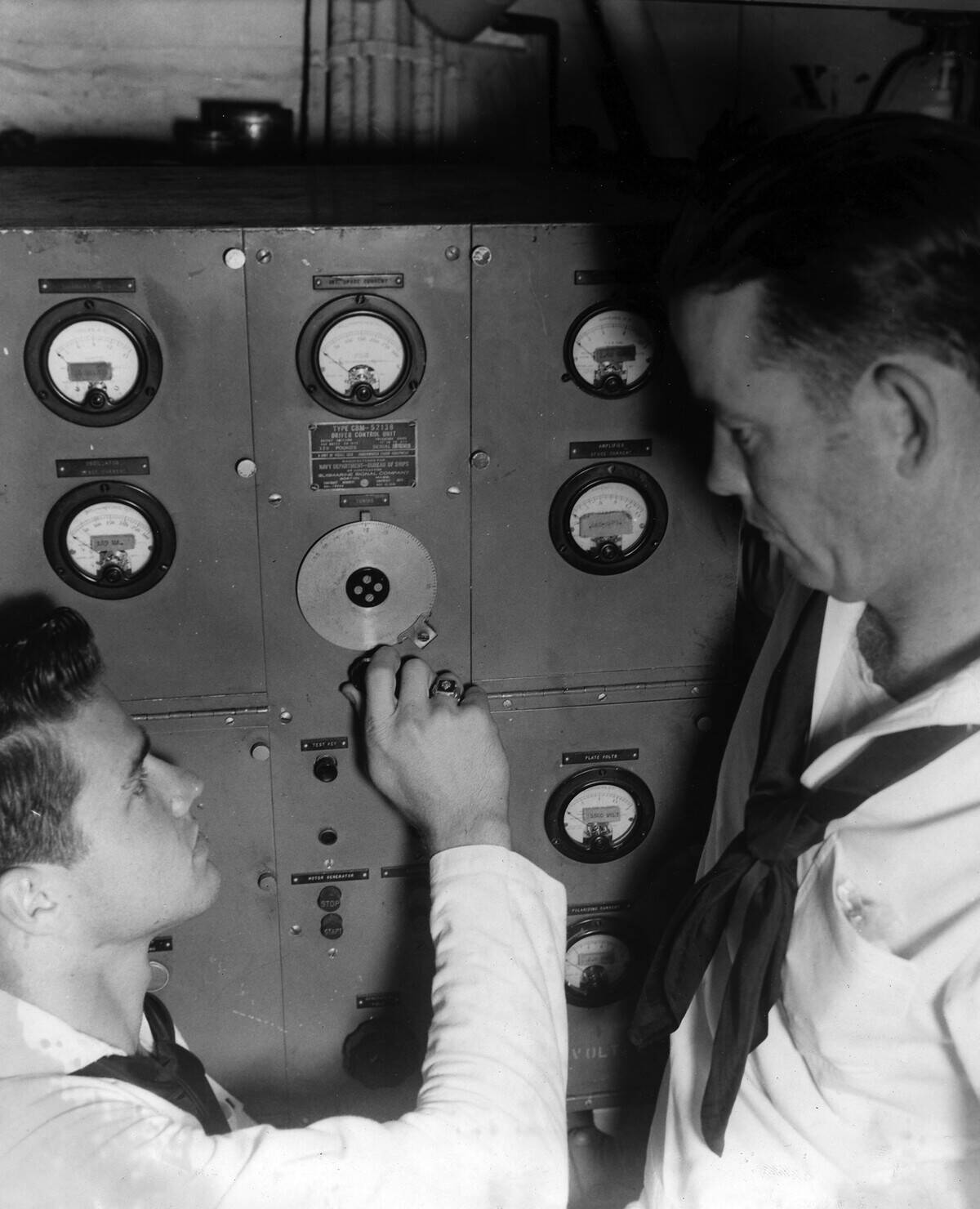
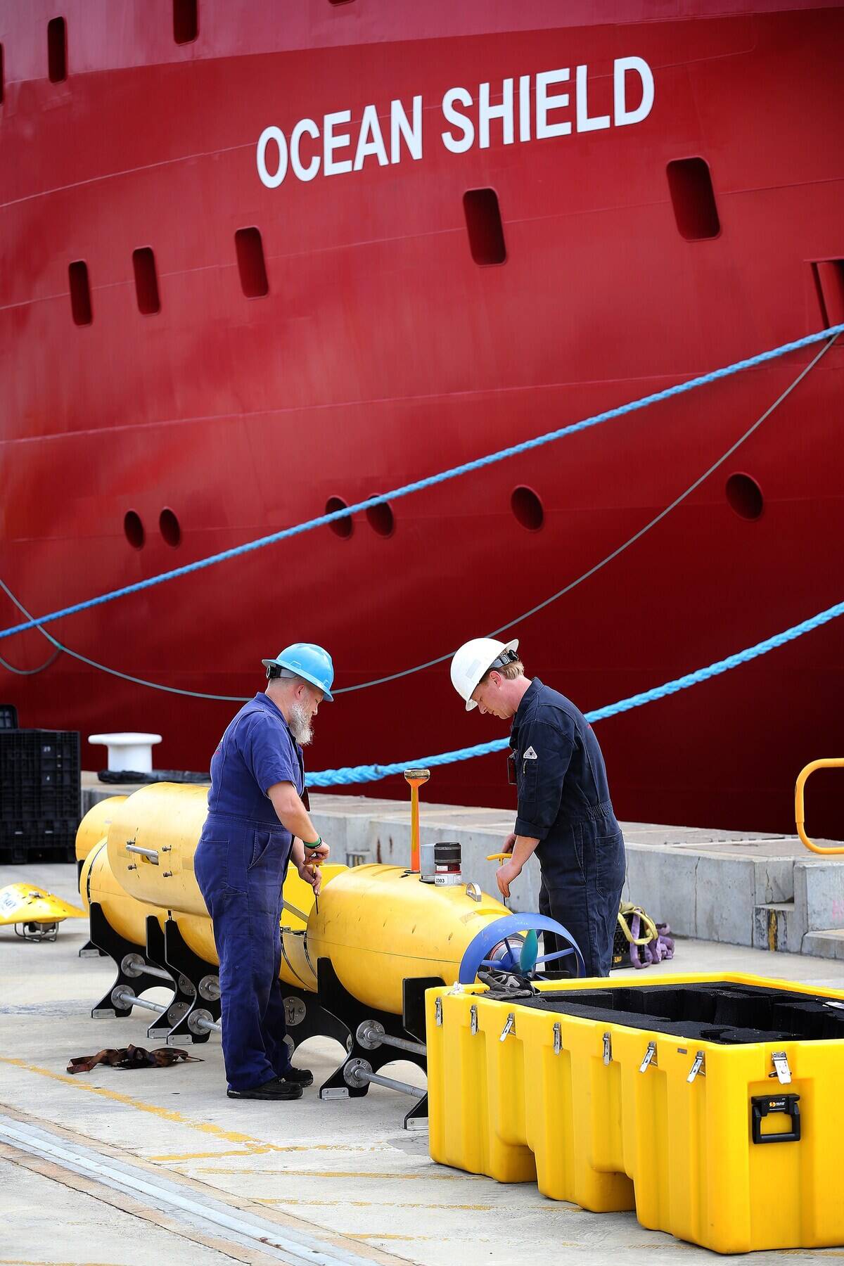
Sonar, short for Sound Navigation and Ranging, uses sound waves to detect objects underwater. This technology can map the ocean floor and locate submerged structures with astonishing precision.
Sonar systems emit sound pulses and measure the time it takes for the echoes to return, creating detailed images. Originally a military tool, sonar has found a new purpose in scientific exploration, aiding in discoveries that were once considered impossible.
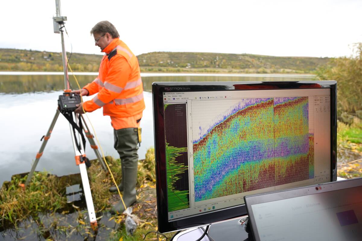
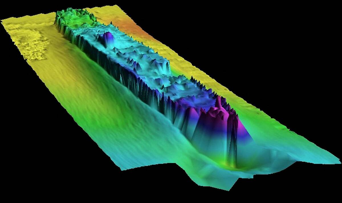
How Sonar Mapping Works
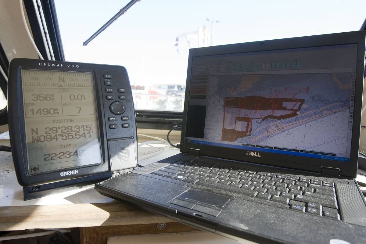
Sonar mapping involves the use of specialized equipment known as multibeam and side-scan sonars. Multibeam sonar sends out multiple beams of sound to cover large areas, while side-scan sonar provides high-resolution images of the seabed.
By combining data from these systems, researchers can create three-dimensional maps of underwater landscapes. This process allows archaeologists to identify potential sites of interest before diving in for a closer look.
The Role of Sonar in Archaeology
In archaeology, sonar has revolutionized the study of submerged sites, enabling discoveries that were previously out of reach. It helps archaeologists identify shipwrecks, ancient trade routes, and even entire cities hidden beneath the waves.
Sonar’s ability to provide detailed images without disturbing the site makes it an invaluable tool for preserving historical artifacts. Its non-invasive nature ensures that these treasures remain intact for future generations to study and appreciate.
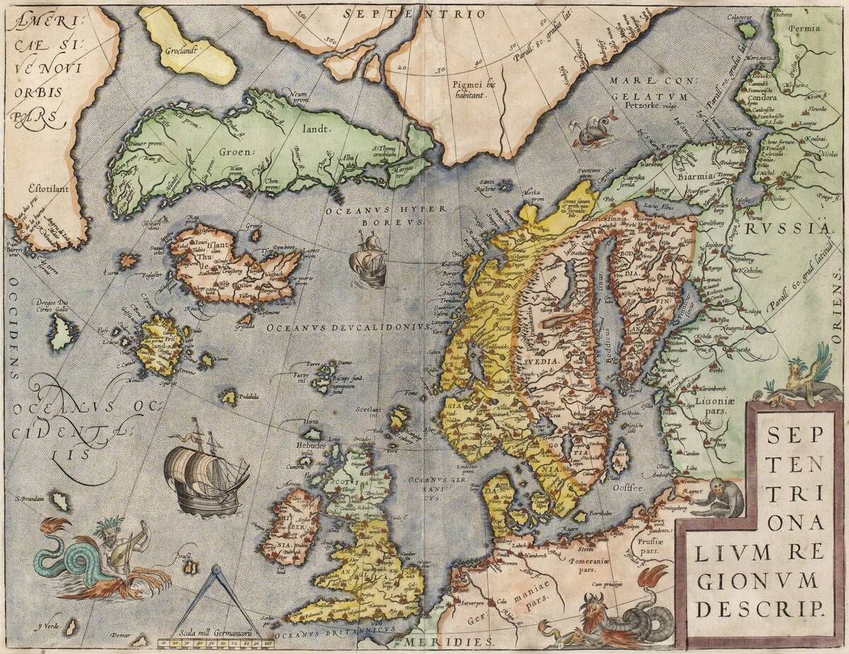
Rediscovering Atlantis: Myth or Reality?
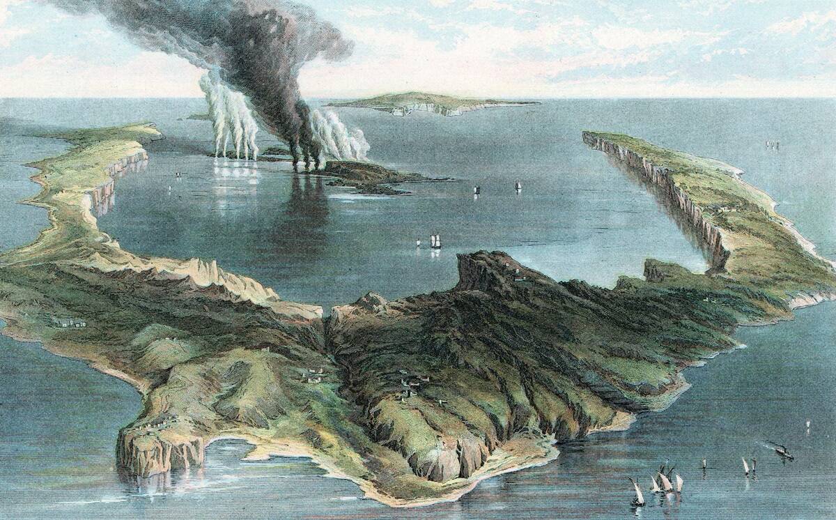
The legend of Atlantis has fueled imaginations for centuries, with sonar technology now playing a role in its possible rediscovery. While no definitive evidence has confirmed Atlantis’s existence, sonar mapping has revealed intriguing underwater formations that some speculate might be linked to this legendary lost civilization.
Whether Atlantis is myth or reality remains to be seen, but the ability to explore these depths keeps the mystery alive and inspires new generations of explorers.
Exploring the Sunken City of Dwarka

In the Gulf of Khambhat, off the coast of India, lies the ancient city of Dwarka. Mentioned in Indian mythology, Dwarka was believed to be submerged over 9,000 years ago.
Sonar mapping has revealed extensive structures beneath the sea, lending credence to these ancient tales. Archaeologists have uncovered artifacts and stonework that suggest a once-thriving civilization, bridging the gap between myth and history with each new discovery.
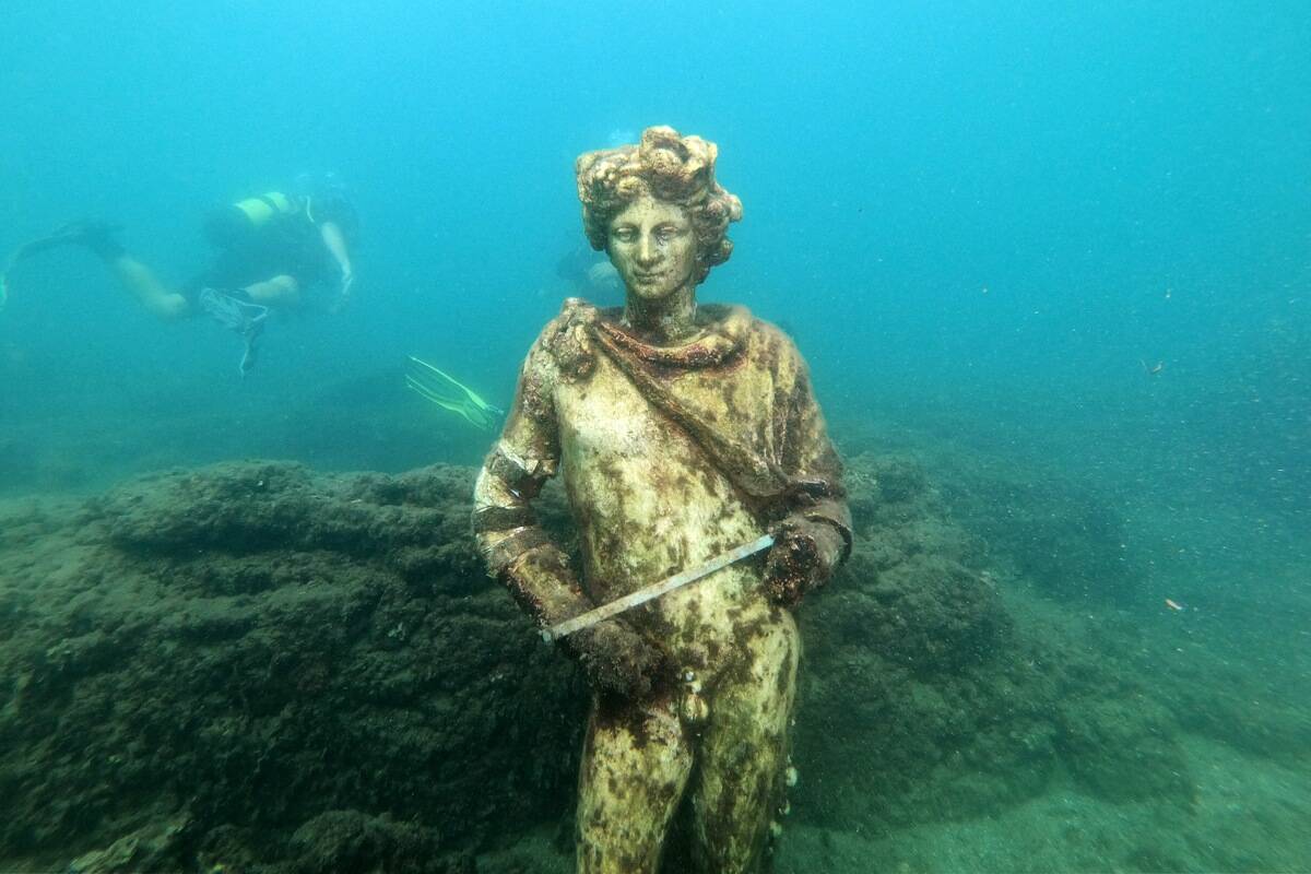
The Lost City of Thonis-Heracleion in Egypt
Thonis-Heracleion was an important port city in ancient Egypt, lost to the sea until its rediscovery in 2000. Sonar mapping played a crucial role in unearthing this submerged city, revealing temples, statues, and treasures buried underwater.
The discovery of Thonis-Heracleion has provided valuable insights into the trade and culture of ancient Egypt, offering a glimpse into a world that had been forgotten for centuries.
Unveiling the Secrets of the Yonaguni Monument
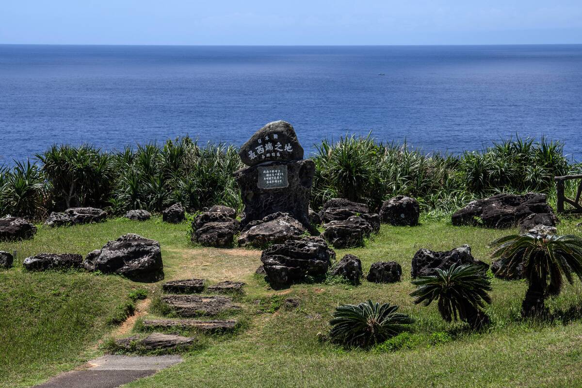
The Yonaguni Monument, off the coast of Japan, has sparked debate among scholars and historians. Some believe it to be a natural formation, while others argue it is the remnants of an ancient civilization.
Sonar mapping has helped create detailed images of the underwater structures, revealing terraces and steps that suggest human intervention. The true nature of the Yonaguni Monument remains a mystery, but sonar continues to uncover clues that fuel further investigation.
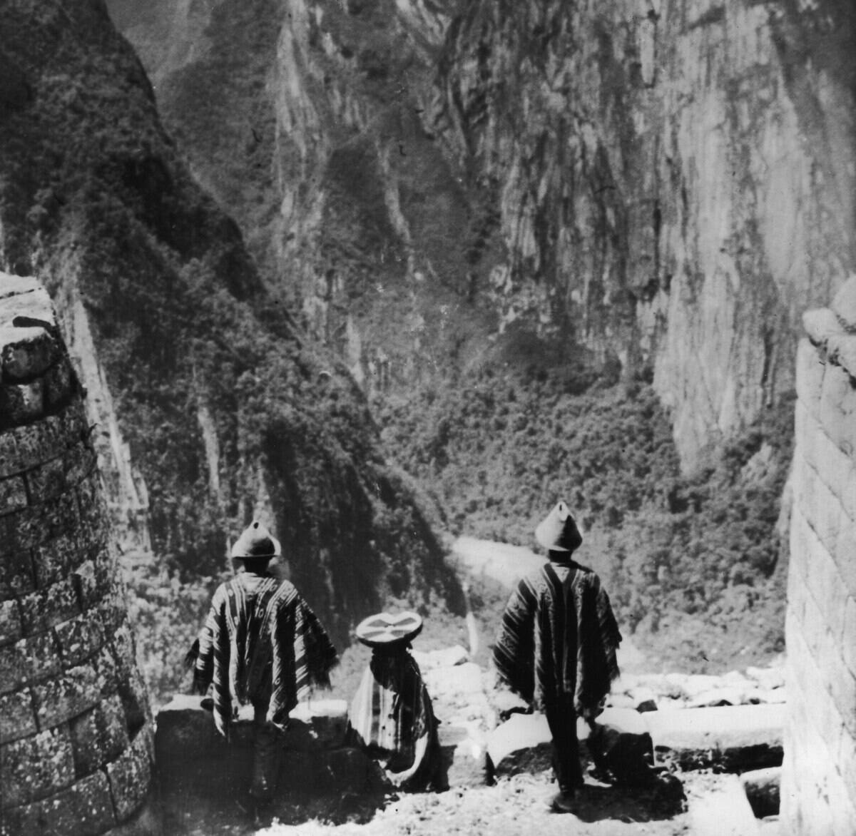
The Enigmatic Structures of Lake Titicaca
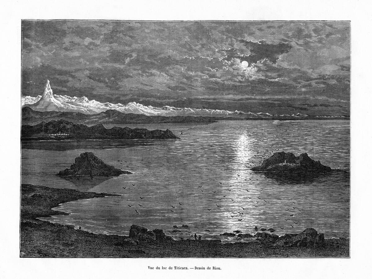
Lake Titicaca, straddling the border of Bolivia and Peru, is home to fascinating underwater structures. Sonar mapping has revealed evidence of submerged terraces, platforms, and roads, suggesting vibrant ancient cultures once inhabited the region.
These discoveries at Lake Titicaca’s high altitude raise intriguing questions about past civilizations. Sonar continues to shed light on the lake’s archaeological mysteries, offering a glimpse into its storied past.
Underwater Mysteries of the Baltic Sea Anomaly
The Baltic Sea Anomaly, discovered in 2011, is an unusual underwater formation detected by sonar that has sparked speculation about its origins.
While some have likened it to a sunken spaceship, most experts consider it a natural geological formation. The anomaly continues to captivate public imagination, illustrating that despite advanced technology, the ocean still holds many mysteries.
The Discovery of Doggerland in the North Sea
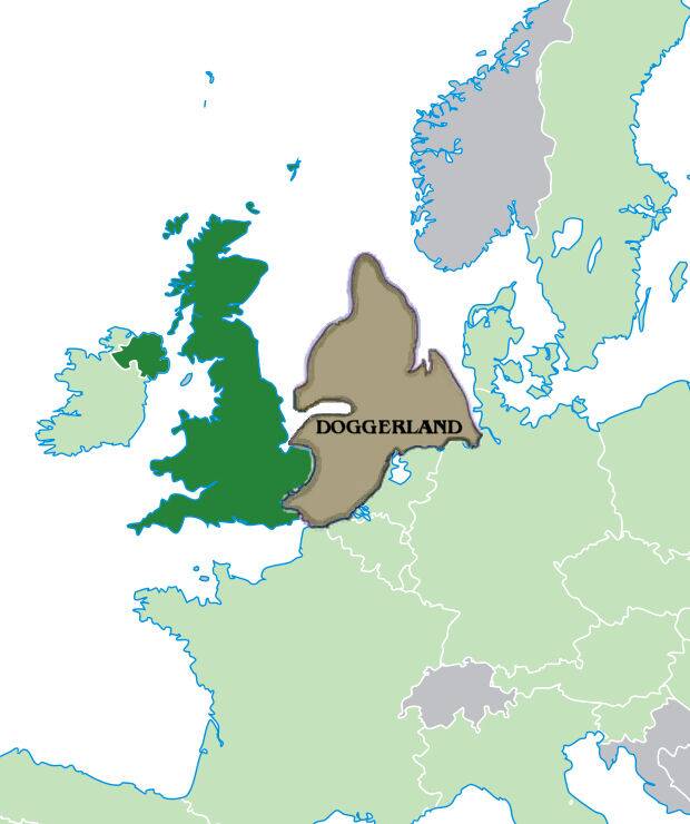
Doggerland, often called the “Stone Age Atlantis,” once connected Great Britain to mainland Europe. Sonar mapping has revealed the contours of this lost land, submerged by rising sea levels around 8,000 years ago.
Researchers have identified ancient river systems, hills, and valleys, offering insights into the lives of the Mesolithic people who once inhabited the region. The rediscovery of Doggerland provides a fascinating glimpse into a world that vanished beneath the waves.
Sonar’s Role in Finding Ancient Shipwrecks
Sonar technology has been instrumental in locating shipwrecks, uncovering stories long lost to the depths. From the Titanic to ancient Roman vessels, sonar mapping has helped pinpoint their locations with remarkable accuracy.
This technology allows archaeologists to explore these underwater time capsules, preserving history and providing insights into past maritime cultures. Each discovered wreck is a testament to sonar’s power in connecting us with our nautical heritage.
Pioneering Sonar Mapping Projects Around the World
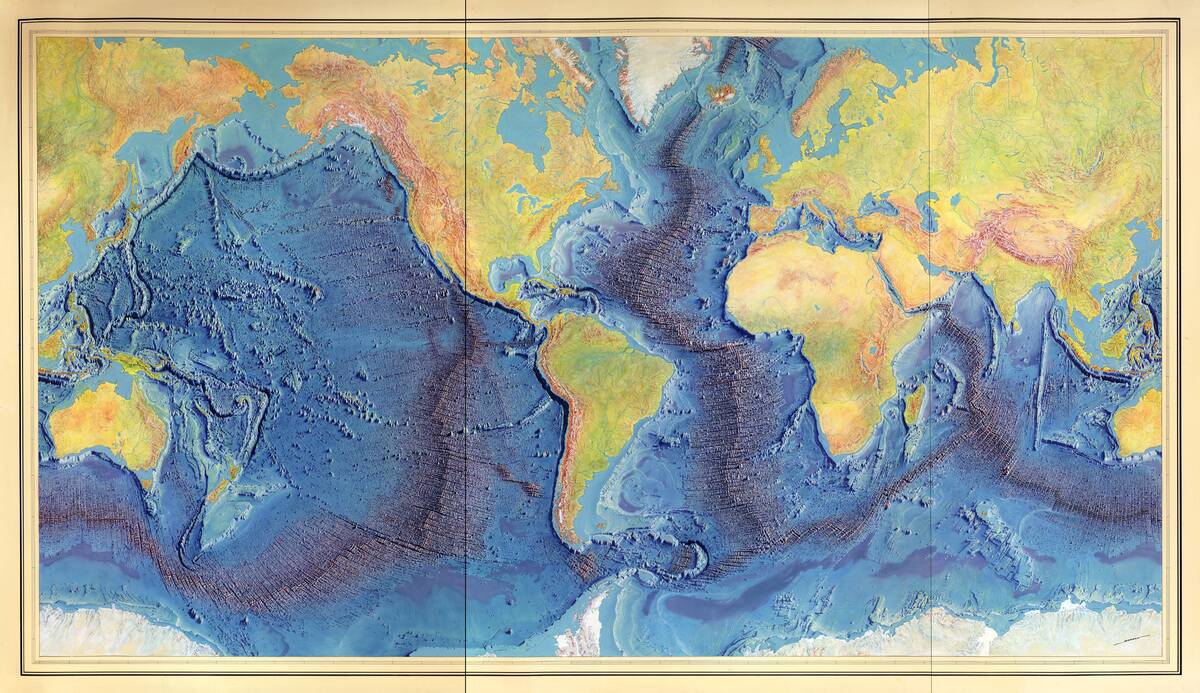
Around the globe, pioneering sonar mapping projects are pushing the boundaries of underwater exploration. Initiatives like the Seabed 2030 project aim to map the entire ocean floor by the end of the decade.
These efforts not only enhance our understanding of marine environments but also aid in the discovery of lost civilizations and shipwrecks. As sonar technology advances, the scope of these projects continues to expand, revealing the ocean’s hidden wonders.
Challenges and Limitations of Sonar Mapping
Despite its many advantages, sonar mapping faces several challenges and limitations. Factors such as water depth, sediment buildup, and marine life can affect the accuracy of sonar images. Additionally, interpreting sonar data requires expertise and can be time-consuming. While sonar provides invaluable insights, it is often used in conjunction with other archaeological methods to achieve a comprehensive understanding of submerged sites. These challenges, however, do not diminish its significance in underwater exploration.
The Future of Underwater Archaeology with Sonar
The future of underwater archaeology with sonar looks promising, as advancements in technology continue to enhance its capabilities. Innovations such as autonomous underwater vehicles (AUVs) equipped with high-resolution sonar systems are opening new frontiers in exploration.
These developments allow for more efficient mapping and discovery of submerged sites, paving the way for groundbreaking archaeological findings. As sonar technology evolves, it will undoubtedly play a crucial role in uncovering the mysteries of our submerged past.


