Ancient borders that constantly shifted
In the ancient world, borders were often as fluid as the rivers that sometimes defined them. Unlike today’s rigid lines on maps, ancient boundaries were influenced by a myriad of factors, including geography, politics, and culture.
It wasn’t uncommon for a kingdom’s borders to shift dramatically within a single generation. This fluidity was not just a matter of conquest; it was also due to alliances, marriages, and trade. Understanding these ancient dynamics offers insight into how our own modern borders came to be.
The Ever-Shifting Boundaries of Ancient Mesopotamia
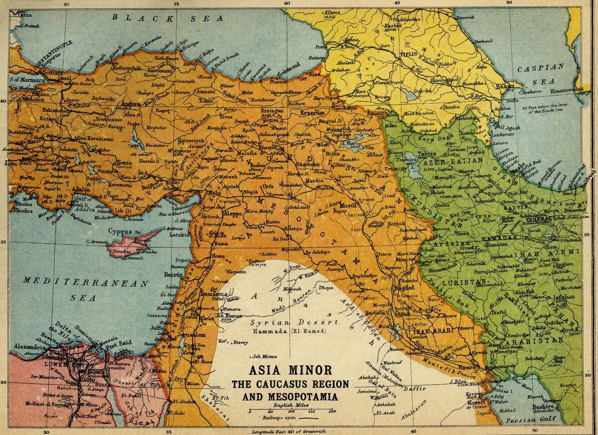
Mesopotamia, often called the cradle of civilization, was a hotbed of constant territorial change. Situated between the Tigris and Euphrates rivers, this region saw the rise and fall of several empires like the Akkadian, Babylonian, and Assyrian.
The fertile land was a magnet for conquests, with boundaries often shifting due to wars and treaties. The Code of Hammurabi, one of the earliest written laws, even includes regulations on land ownership, illustrating the importance of territory in this ancient society.
Egypt and Nubia: A History of Expansion and Contraction
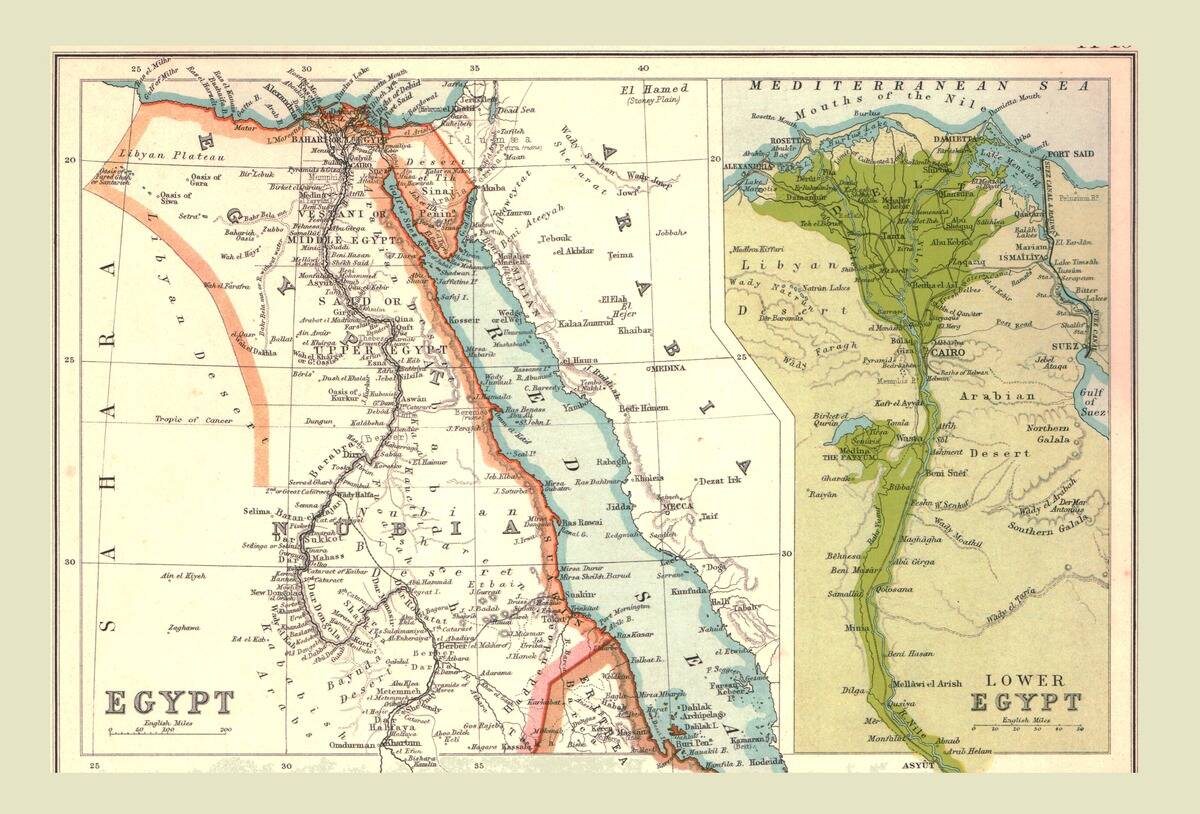
The relationship between Egypt and Nubia was a dance of expansion and contraction, influenced by trade and war. Egypt’s pharaohs often sought control over Nubia for its gold mines, leading to periods of annexation.
Conversely, Nubian kings ruled Egypt during the 25th Dynasty, demonstrating the fluidity of their borders. The Nile River facilitated this exchange, helping both cultures thrive. This ebb and flow of control highlights how resources and geography played crucial roles in the historical narratives of these regions.
The Rise and Fall of the Roman Empire’s Borders
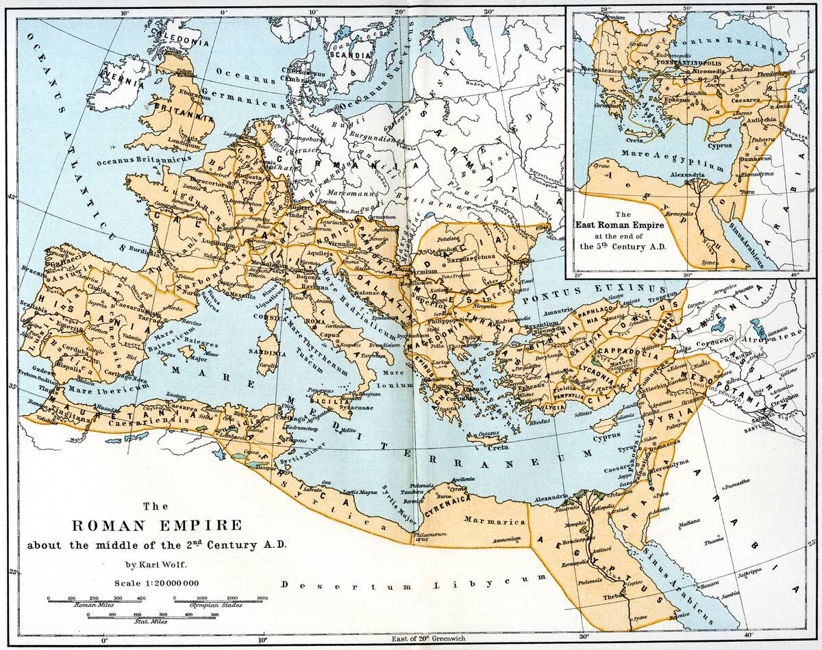
The Roman Empire is perhaps the most iconic example of ancient territorial expansion. At its peak, the empire spanned three continents, covering vast areas of Europe, Africa, and Asia. The famous Hadrian’s Wall in Britain marked its northern boundary, while the Sahara Desert served as a natural southern limit.
As Rome’s power waned, these borders contracted, leading to the eventual fall of the Western Roman Empire in 476 AD. The remnants of Roman infrastructure and culture still influence Europe today, a testament to its once-mighty reach.
The Changing Frontiers of Ancient Greece
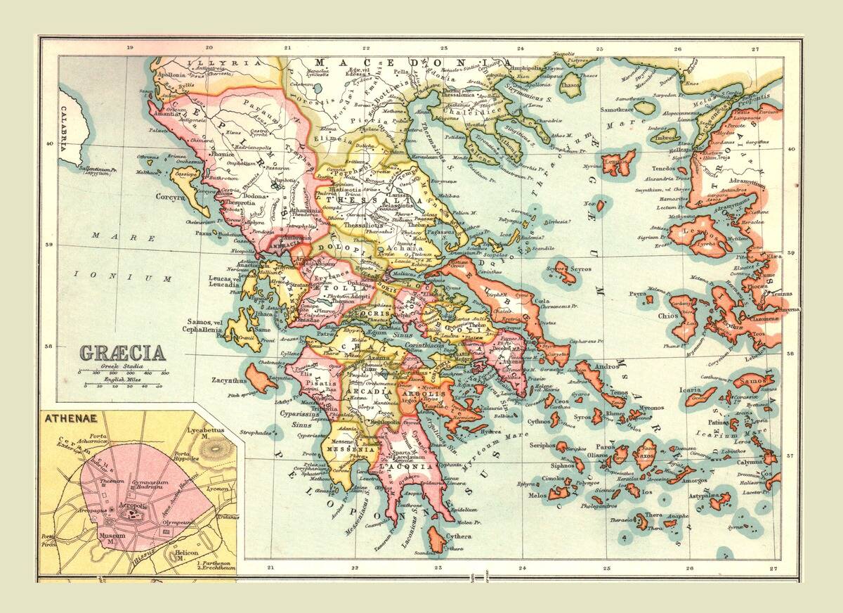
Ancient Greece was a mosaic of city-states, each with its own sphere of influence. Athens and Sparta were the most notable, often clashing over territory. The Peloponnesian War, a protracted conflict between these two powerhouses, led to significant shifts in control.
The rise of Macedon under Alexander the Great further altered Greek borders, as he created an empire stretching from Greece to India. Despite these changes, Greek culture and philosophy continued to spread, leaving a lasting legacy on the world.
The Persian Empire: From Cyrus to Alexander
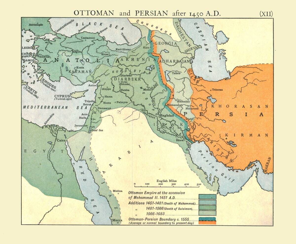
The Persian Empire, founded by Cyrus the Great, was known for its vast and diverse territories. At its height, it stretched from the Indus River in the east to the Aegean Sea in the west. The empire’s administrative efficiency allowed it to maintain control over such a wide area.
However, this vastness made it vulnerable to external pressures, culminating in its conquest by Alexander the Great. The Persian model of governance influenced many subsequent empires, showcasing the impact of its territorial and cultural reach.
The Fluid Borders of the Indian Subcontinent
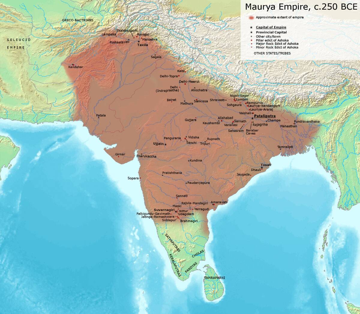
The Indian subcontinent has always been a melting pot of cultures due to its fluid borders. The Maurya Empire, under Ashoka, expanded its reach across much of the subcontinent, promoting Buddhism along the way.
However, subsequent invasions by the Huns and later the Mughals reshaped the region’s boundaries. The Himalayas acted as a natural barrier to the north, while the vast plains facilitated movement from other directions, constantly redefining the subcontinent’s political landscape throughout history.
China’s Dynastic Changes and Their Impact on Boundaries
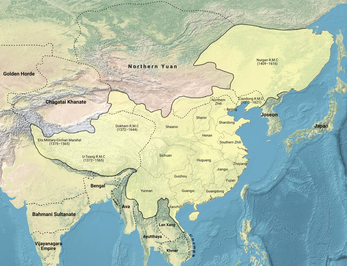
China’s history is marked by a series of dynastic changes, each redefining its borders. The Great Wall, built primarily during the Ming Dynasty, served to protect against northern invasions. Yet, internal strife often led to shifts in control, as seen during the Warring States period.
The Tang Dynasty expanded Chinese influence, reaching into Central Asia. These shifting borders not only impacted China’s political landscape but also facilitated cultural exchanges along the Silk Road, enriching both China and its neighbors.
The Carthaginian Empire’s Expanding and Contracting Limits
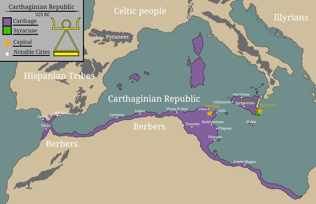
Carthage, a powerful maritime city-state in North Africa, was known for its extensive trade networks across the Mediterranean. Its strategic location allowed it to control key trade routes and expand its influence, notably in Sicily and parts of Spain.
However, the Punic Wars with Rome drastically altered its fortunes. The eventual destruction of Carthage in 146 BC by the Romans marked the end of its territorial ambitions. Despite this, Carthaginian innovations in trade and naval warfare left a lasting impact on the region.
The Transformation of Ancient Celtic Territories
The Celts, known for their tribal societies across Europe, experienced significant territorial changes due to Roman expansion. Originally spread over much of Western Europe, including present-day France, Britain, and Spain, Celtic tribes faced pressures from Roman conquests.
The Gallic Wars, led by Julius Caesar, resulted in the Roman annexation of Gaul. Despite this, Celtic culture persisted in regions like Ireland and Scotland, where Roman influence was minimal. This cultural resilience is evident in modern Celtic languages and traditions.
The Nomadic Tribes of the Steppe and Their Influence on Borders
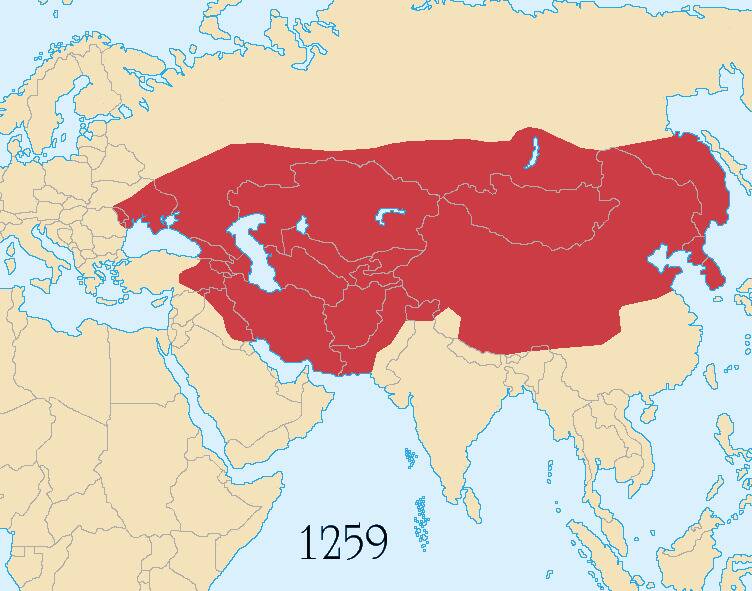
The vast Eurasian Steppe was home to numerous nomadic tribes, including the Scythians and later the Huns and Mongols. These groups were adept horsemen, enabling them to traverse vast distances and challenge established borders.
The Mongol Empire, founded by Genghis Khan, was the largest contiguous land empire in history, stretching from Europe to Asia. Their incursions into settled territories often led to significant shifts in boundaries, demonstrating the powerful impact of nomadic cultures on ancient geopolitical landscapes.
The Influence of Trade Routes on Ancient Territorial Lines
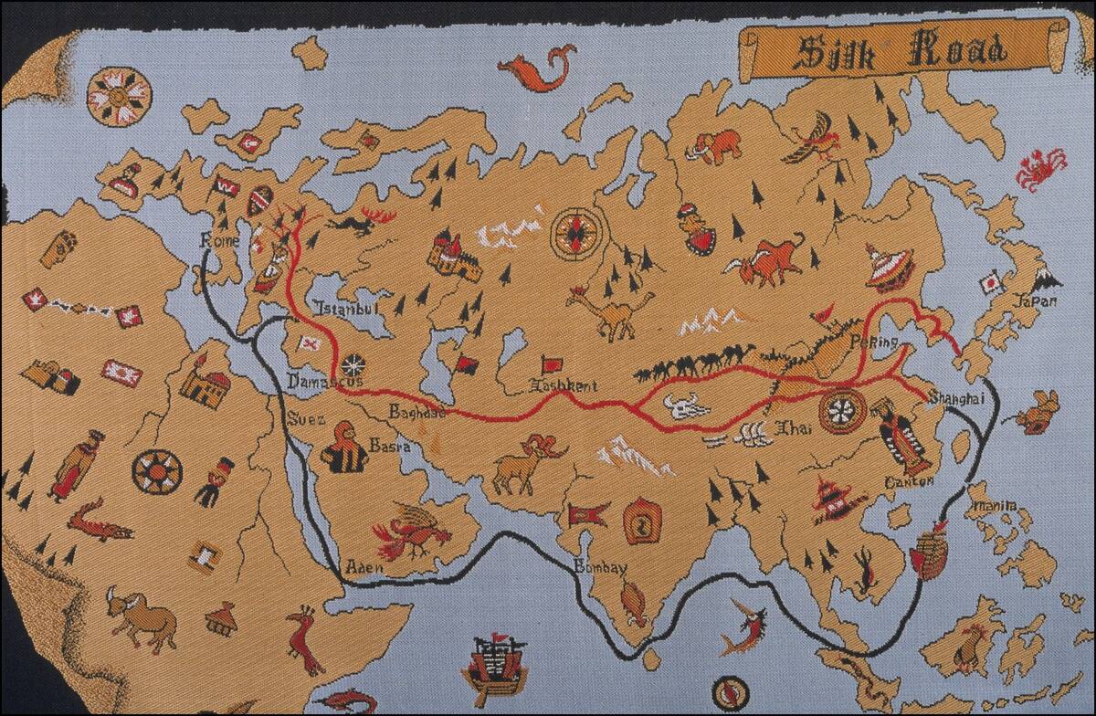
Trade routes were lifelines that connected distant civilizations, influencing the borders of ancient territories. The Silk Road, for example, was not just a trade route but a conduit for cultural exchange, spanning from China to the Mediterranean.
Control over these routes often dictated the rise and fall of empires. The wealth generated by trade encouraged territorial expansion, as seen with the Roman and Byzantine Empires. These routes facilitated the spread of ideas, goods, and technologies, weaving a complex web of interactions across continents.
The Role of Geography in Shaping Ancient Borders
Geography played a crucial role in the formation of ancient borders. Natural barriers like mountains, rivers, and deserts often defined the limits of empires. The Alps protected Roman Italy, while the Sahara served as a formidable boundary for North African kingdoms.
In ancient China, the Yellow and Yangtze rivers were natural dividers that influenced settlement patterns. These geographical features not only provided protection but also dictated trade routes and cultural interactions, contributing to the unique development of each civilization.
War and Peace: How Conflicts Redefined Ancient Territories
Conflict has always been a catalyst for change, reshaping ancient territories in its wake. The Peloponnesian War altered the Greek world, while the Punic Wars redrew the map of the western Mediterranean.
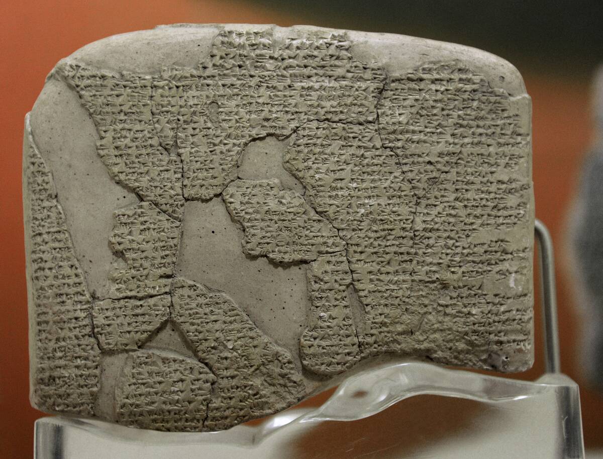
Peace treaties also played a role in defining borders, as seen in the Treaty of Kadesh, one of the earliest known peace agreements between Egypt and the Hittites. These conflicts and resolutions not only shifted borders but also influenced cultural exchanges, as victors and vanquished alike adapted to new realities.
The Legacy of Ancient Borders on Modern Maps
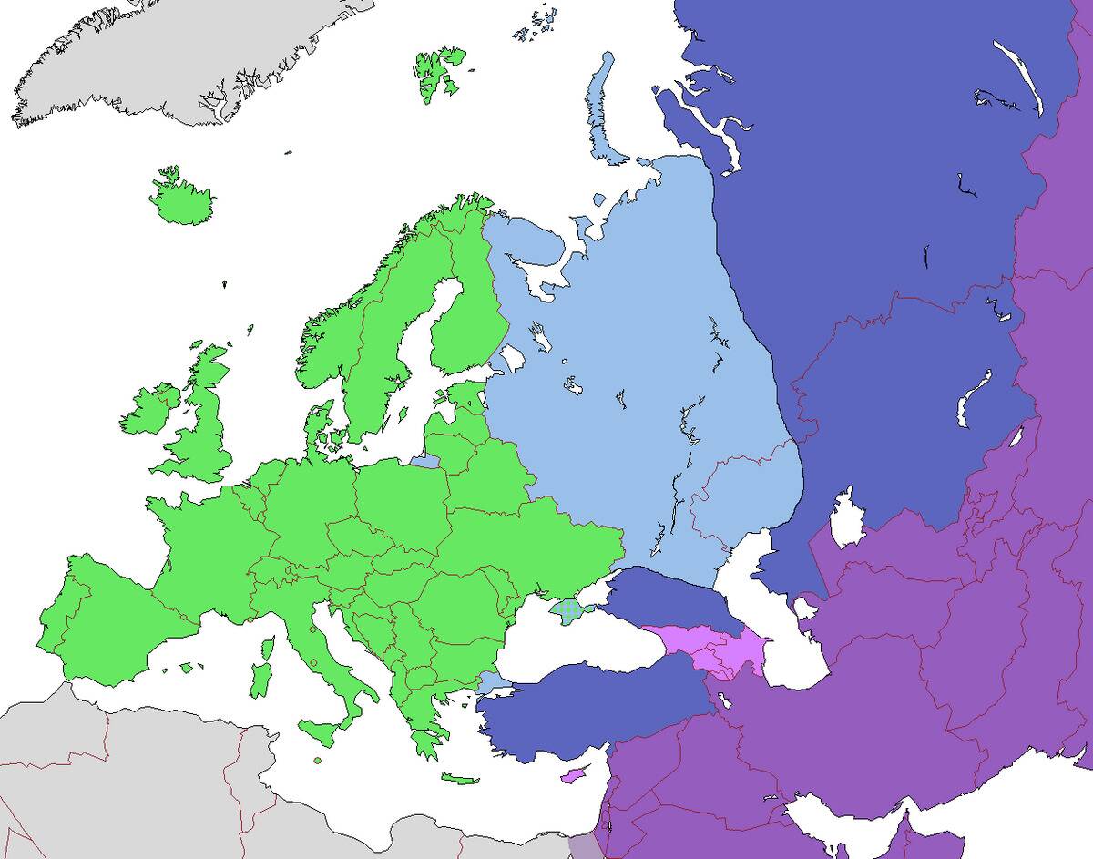
The echoes of ancient borders can still be seen on modern maps. The division between Europe and Asia, for example, has its roots in ancient Greek geography. Many modern nation-states, such as Egypt and China, trace their origins to ancient kingdoms.
The cultural and linguistic diversity of regions like the Balkans and the Middle East reflects the complex history of ancient territorial changes. Understanding these ancient borders provides insight into contemporary geopolitical issues, as historical legacies continue to shape current events.


