How stars, winds, and currents guided early sailors
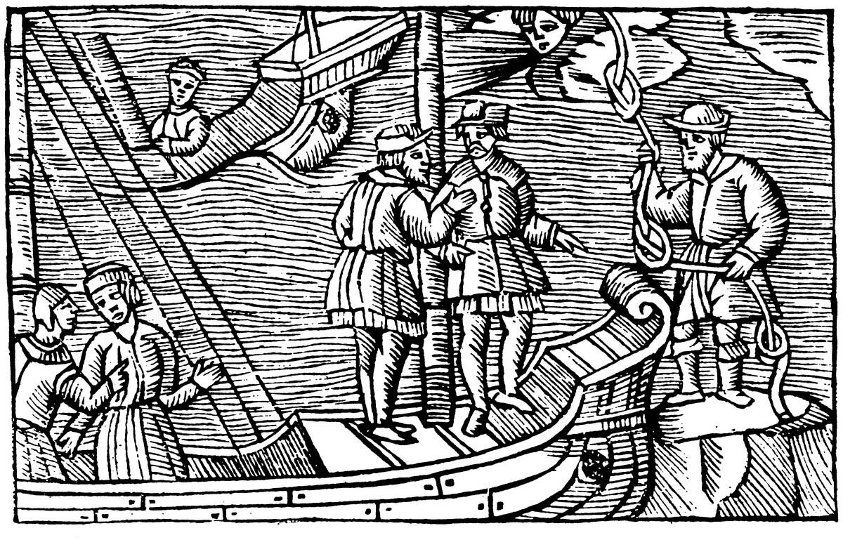
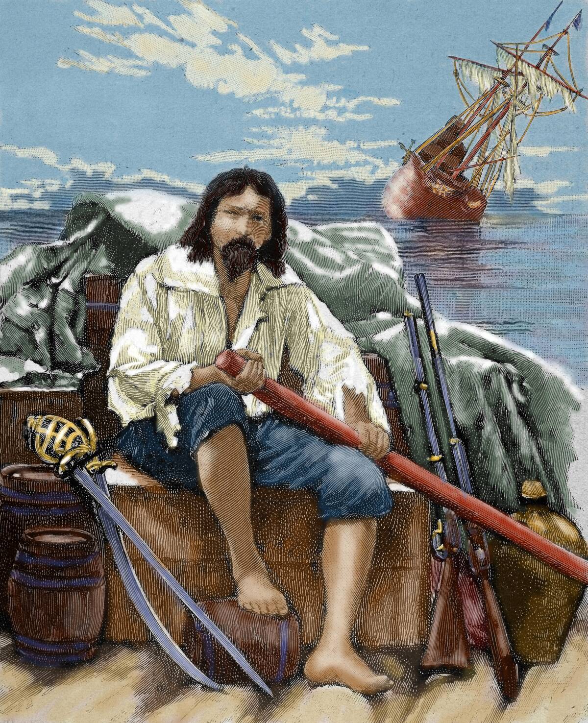
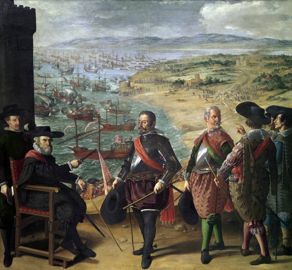
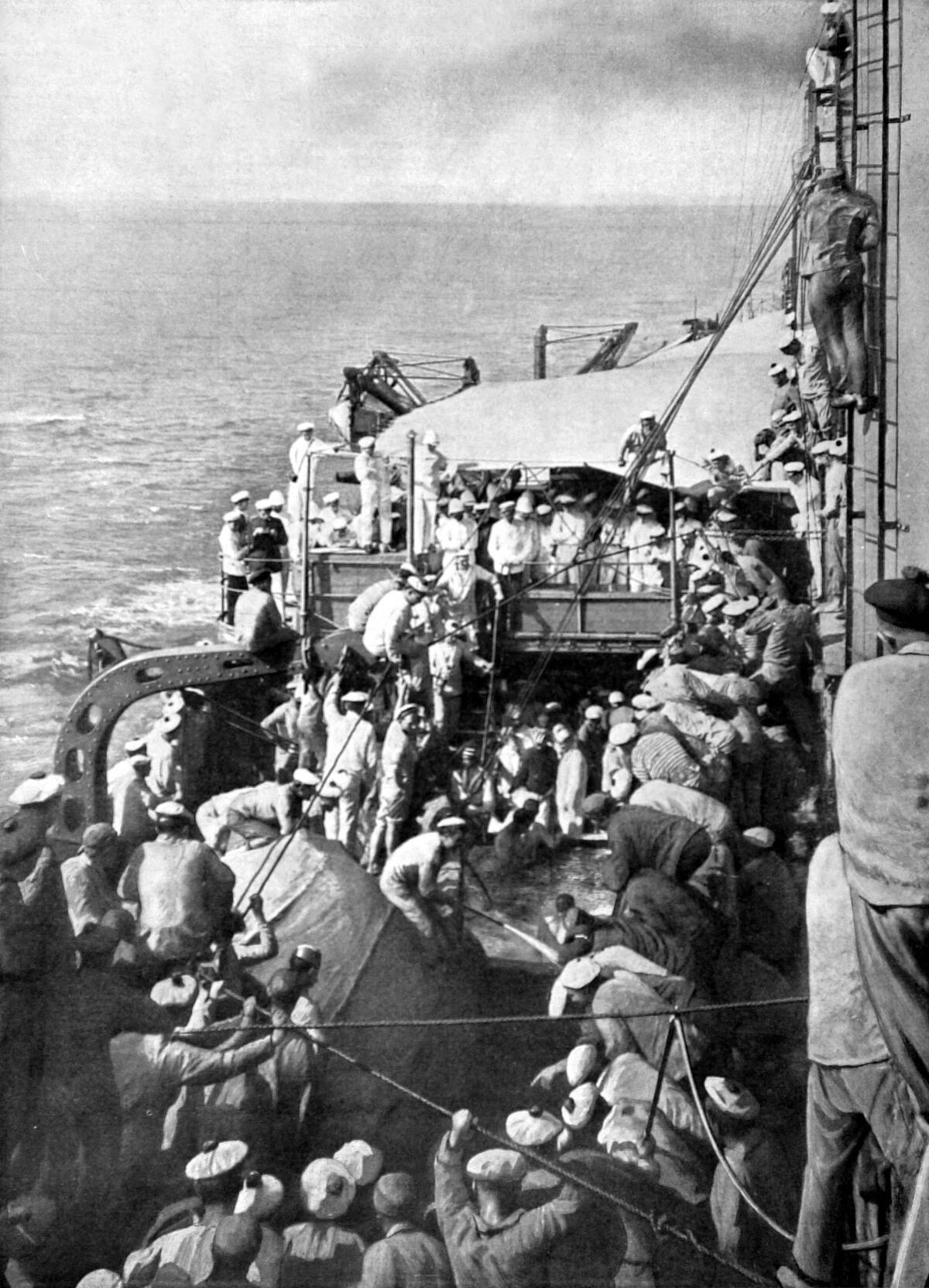
The Age of Exploration, roughly spanning the 15th to the 17th century, was a time when daring mariners set sail across uncharted waters. Their main goal was to discover new lands, trade routes, and resources, but the vast and unpredictable sea presented numerous challenges.
Navigation, therefore, became an essential skill for explorers. By relying on both celestial and terrestrial cues, these navigators managed to traverse the oceans and expand the known world, paving the way for global exchange and cultural interactions.
The Role of Stars in Ancient Navigation
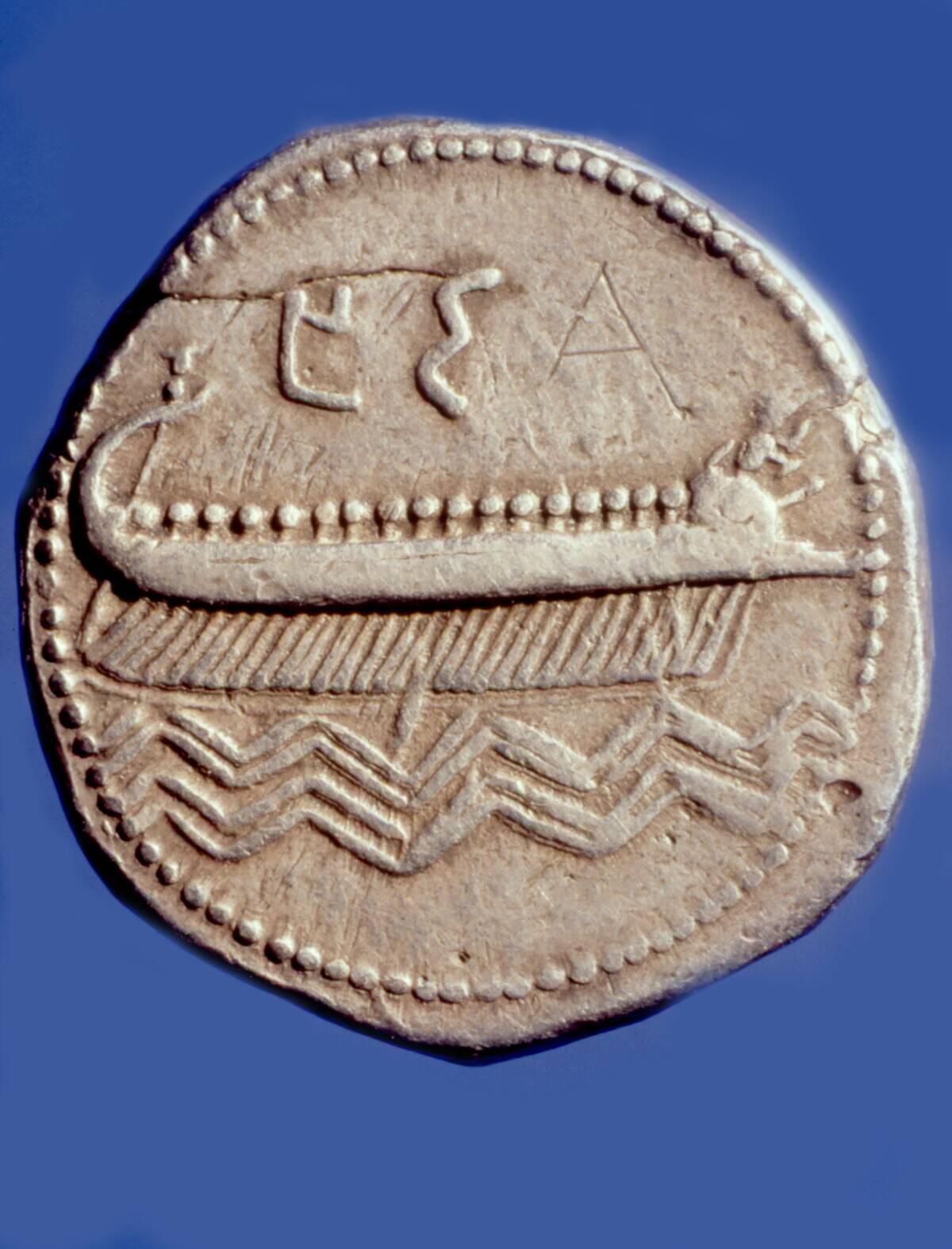
Stars have been guiding sailors since ancient times, offering dependable points of reference in the vastness of the open sea. Mariners of antiquity, like the Phoenicians, used stars to maintain a consistent course during their nocturnal voyages.
The stars provided a fixed celestial map, with certain stars rising and setting predictably, helping sailors determine direction and latitude. This celestial guidance was especially crucial when land was out of sight, and the ocean seemed endless in every direction.
Understanding the Night Sky: A Navigator’s Guide
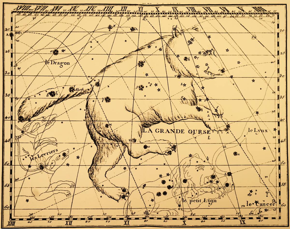
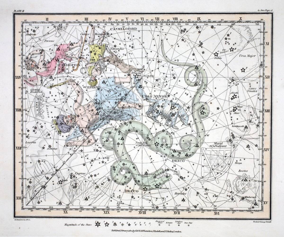
For navigators, understanding the night sky was akin to reading a map. The sky is divided into constellations, each with its own unique arrangement of stars, serving as signposts for sailors.
These constellations, such as Orion and Ursa Major, helped mariners orient themselves. Beyond mere direction, the night sky also provided vital information about the time and season, crucial for calculating distances and determining the best routes for their journeys.
The North Star: The Ancient GPS

The North Star, also known as Polaris, has long been a trusted guide for northern hemisphere sailors. Unlike other stars, Polaris remains relatively fixed in the sky, sitting almost directly above the North Pole.
This unique position made it a reliable point of reference for determining true north. Mariners could measure the angle between Polaris and the horizon to find their latitude, making it an invaluable tool for navigation before the advent of modern instruments.
Celestial Navigation: Using the Sun and Moon
Navigators didn’t rely solely on stars; the sun and moon also played pivotal roles in guiding ships. By observing the sun’s position at noon, sailors could ascertain their latitude. The moon, with its phases and predictable path, helped in estimating time and tide patterns.
This solar and lunar guidance was especially beneficial when stars were obscured by clouds or during daylight, ensuring that mariners could always find their bearings regardless of the time of day.
Constellations and Their Significance for Mariners
Constellations have served as celestial signposts for centuries, guiding mariners across the seas. Groups of stars like the Southern Cross and Cassiopeia were not just navigational tools but were also steeped in myth and lore.
These star patterns offered a sense of familiarity and comfort to sailors, who often faced isolation and uncertainty. Recognizing these constellations allowed navigators to maintain a sense of direction, even when the sea and sky were indistinguishable in the vast oceanic expanse.
The Art of Reading the Winds
Understanding wind patterns was essential for ancient mariners, who relied on sails to harness the wind’s power. By observing wind direction and strength, sailors could predict weather changes and adjust their course accordingly.
Techniques for reading the winds were passed down through generations, with experienced sailors able to sense subtle shifts that could mean the difference between a smooth journey and a perilous one. This wind-reading skill was crucial for efficient and safe navigation across the seas.
Trade Winds and Their Historical Importance
Trade winds, steady and predictable, were the lifeblood of maritime commerce during the Age of Exploration. Blowing consistently from the east in the tropics, these winds propelled ships across the Atlantic and Pacific Oceans, facilitating trade between continents.
The predictability of the trade winds allowed for the establishment of regular shipping routes, which were critical for the exchange of goods, ideas, and cultures between the Old and New Worlds, shaping the course of history.
The Science Behind Ocean Currents
Ocean currents, like unseen rivers within the sea, have always been critical to navigation. They are driven by a combination of wind, water density differences, and the Earth’s rotation.
Understanding these currents allowed sailors to save time and resources by riding favorable currents or avoiding those that would hinder their progress. Knowledge of ocean currents also aided in predicting weather patterns, which was crucial for long voyages where changes in weather could mean the difference between life and death.
Major Ocean Currents: Nature’s Conveyor Belts
Major ocean currents, such as the Gulf Stream and the Kuroshio Current, function like conveyor belts, moving warm and cold water across the globe. These currents not only influence climate and weather patterns but also play a pivotal role in historical navigation.
By riding these currents, ships could travel faster and more efficiently. The Gulf Stream, for instance, was a favored route for ships traveling from the Americas to Europe, cutting weeks off the journey time in the Age of Exploration.
The Equatorial Countercurrent: A Hidden Challenge
The Equatorial Countercurrent, flowing eastward between the westward-blowing trade winds, posed a hidden challenge for sailors. Unlike the predictable trade winds, this current could unexpectedly slow a ship’s progress or alter its course.
Navigators had to be keenly aware of this countercurrent when planning routes across the Pacific and Atlantic Oceans. Understanding its behavior was essential to avoid being caught off guard and to ensure efficient navigation through equatorial waters.
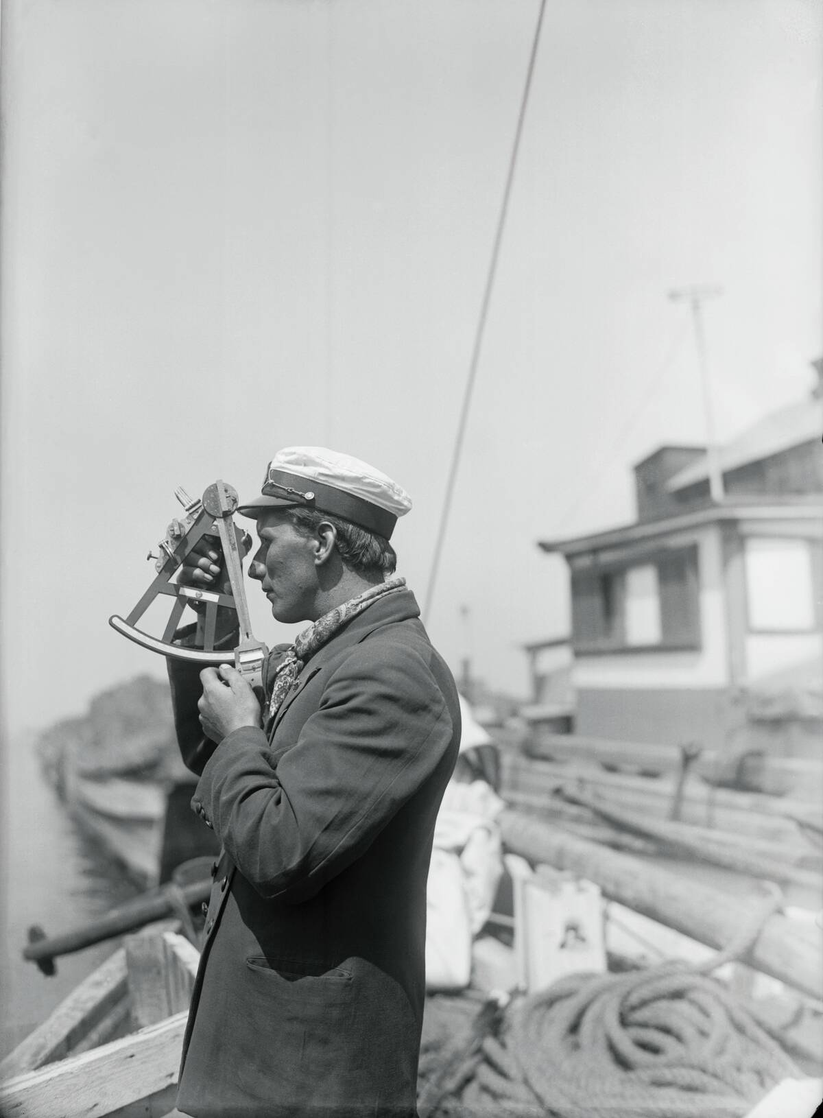
Ancient Tools of the Trade: The Astrolabe and Sextant
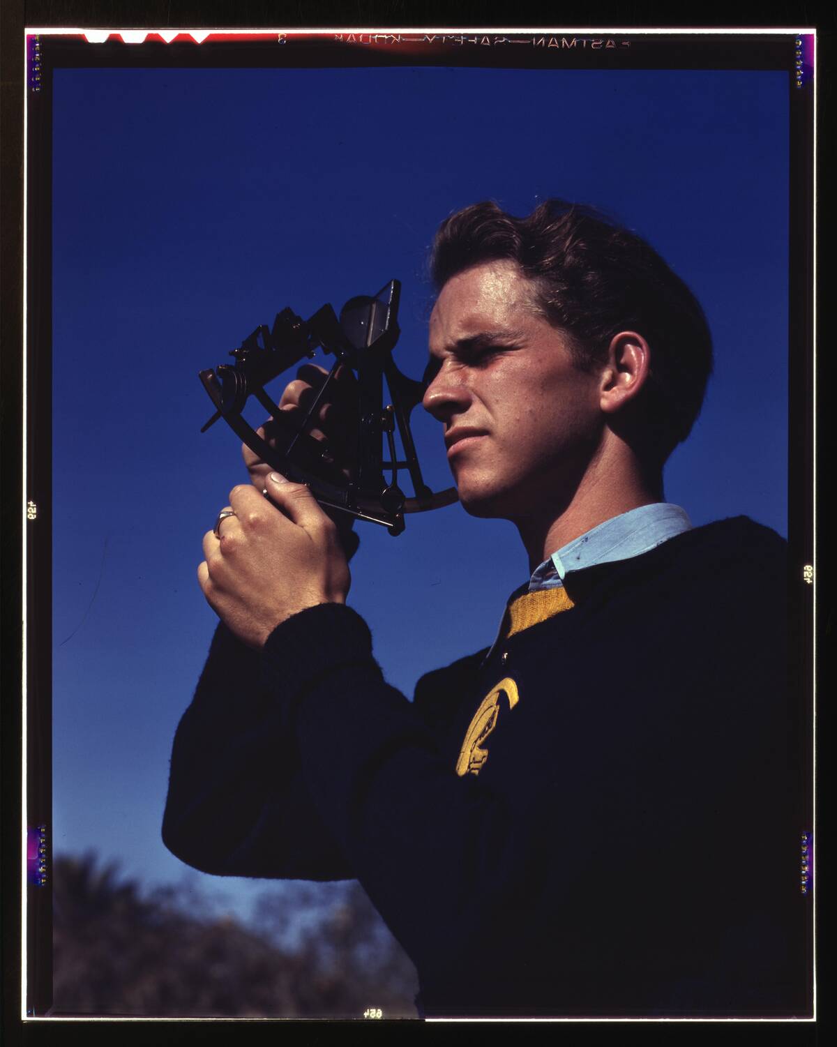
Navigators of the past relied on ingenious tools like the astrolabe and sextant to chart their courses. The astrolabe, an ancient instrument, allowed sailors to measure the angles of celestial bodies, helping them determine latitude.
The sextant, developed later, improved accuracy by allowing mariners to measure the angle between a star and the horizon. These tools revolutionized navigation, enabling explorers to venture further with confidence, opening new horizons and expanding the reach of maritime exploration.
Dead Reckoning: Mapping the Unknown

Dead reckoning was a navigation technique used by sailors to estimate their position based on previously determined locations. By keeping track of speed, time, and direction, mariners could approximate their current position even when celestial navigation wasn’t possible.
Though less precise than using the stars or sun, dead reckoning was crucial during overcast days or in uncharted waters. This method required skill and experience, as errors could accumulate, leading ships astray if not carefully monitored.
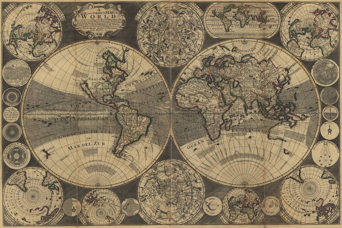
The Role of Early Cartographers in Navigation
Early cartographers, or mapmakers, played a vital role in the advancement of navigation. By compiling information from explorers and sailors, they created maps that were essential for planning voyages.
These maps, although sometimes inaccurate, were invaluable tools for navigation and discovery. The work of cartographers like Gerardus Mercator, who created the Mercator projection, revolutionized how sailors plotted courses, making it easier to navigate vast and unfamiliar seas, thus facilitating global exploration.
The Legacy of Polynesian Wayfinding Techniques
Polynesian navigators were masters of wayfinding, using natural cues like stars, winds, and waves to traverse the vast Pacific Ocean. Without the aid of modern instruments, they developed an intricate understanding of their environment, allowing them to navigate thousands of miles with remarkable precision.
This ancient knowledge, passed down orally through generations, remains a testament to human ingenuity and adaptability. Today, these techniques are celebrated and studied for their sophistication and effectiveness in traditional navigation.


